Location Overview
The Spark Waikanae East location is 20m high, has 8 licences associated, and is capable* of 3G UMTS, 4G LTE and 5G.
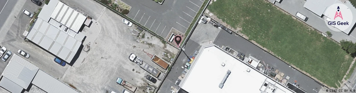
GIS Geek | LINZ | GMaps | Street View
Login required to upload photos or suggest corrections.
Closest Towers
| Provider | Location Name | Distance | Bearing |
|---|---|---|---|
| Spark | Waikanae | 1.48km | 289.83 |
| OneNZ | Waikanae Township VF W4WKT | 124m | 305.43 |
| 2Degrees | Waikanae | 135m | 309.16 |
| RCG | RWLHAT - Hautere | 13.23km | 62.76 |
Licence Details
Close Cell IDs Spark MMC: 530 MNC: 5
| Radio | Area | Cell | Distance from tower | Bearing from tower | Samples |
|---|---|---|---|---|---|
| LTE | 38141 | 76887409 | 75m | 169.22 | 1 |
| UMTS | 65429 | 2350841 | 134m | 63.06 | 1 |
| LTE | 3501 | 363631 | 253m | 32.82 | 1 |
| UMTS | 38399 | 2350844 | 260m | 214.53 | 1 |
| UMTS | 38398 | 2350844 | 337m | 24.68 | 20 |
| UMTS | 38399 | 2350841 | 432m | 5.93 | 3 |
| UMTS | 32403 | 2154236 | 361m | 260.44 | 11 |
| LTE | 38141 | 76887419 | 489m | 200.98 | 7 |
| LTE | 38141 | 76887421 | 562m | 230.26 | 25 |
| UMTS | 35201 | 2350844 | 661m | 15.93 | 4 |
| UMTS | 35201 | 2350841 | 640m | 30.97 | 3 |
| UMTS | 38398 | 2153970 | 682m | 254.73 | 6 |
| LTE | 38141 | 363631 | 1.06km | 33.66 | 14 |
| UMTS | 32402 | 2154233 | 1.07km | 237.34 | 1 |
| UMTS | 32402 | 2154234 | 1.07km | 237.34 | 8 |
| LTE | 38141 | 76887417 | 1.19km | 227.68 | 36 |