Location Overview
The Spark Stokes Valley location is 13m high, has 6 licences associated, and is capable* of 3G UMTS, 4G LTE and 5G.
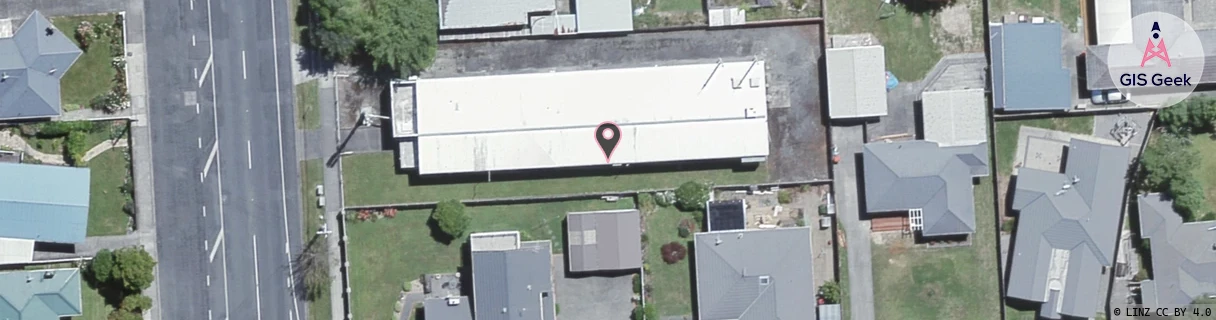
GIS Geek | LINZ | GMaps | Street View
Login required to upload photos or suggest corrections.
Closest Towers
| Provider | Location Name | Distance | Bearing |
|---|---|---|---|
| Spark | Jennings Freight Wgtn | 1.39km | 281.03 |
| OneNZ | Stokes Valley | 780m | 254.75 |
| 2Degrees | Stokes Valley | 753m | 258.45 |
| RCG | RWLWIV - Whitemans Valley | 7.91km | 79.36 |
Licence Details
Close Cell IDs Spark MMC: 530 MNC: 5
| Radio | Area | Cell | Distance from tower | Bearing from tower | Samples |
|---|---|---|---|---|---|
| UMTS | 33201 | 2219651 | 303m | 262.96 | 147 |
| UMTS | 33201 | 2219654 | 305m | 262.82 | 136 |
| UMTS | 33201 | 2219653 | 705m | 172.99 | 8 |
| UMTS | 33201 | 2219650 | 774m | 191.46 | 12 |
| UMTS | 38398 | 2352326 | 1.33km | 347.3 | 3 |
| UMTS | 3501 | 12812832 | 1.43km | 336.15 | 1 |
| UMTS | 33201 | 2219390 | 1.51km | 346.39 | 21 |
| UMTS | 38398 | 2351708 | 1.26km | 250.71 | 11 |
| UMTS | 3501 | 12812833 | 1.58km | 338.33 | 1 |
| UMTS | 37399 | 2539370 | 1.44km | 314.14 | 4 |
| LTE | 3301 | 475001 | 1.63km | 346.93 | 2 |
| LTE | 3301 | 475003 | 1.63km | 346.94 | 1 |