Licence Overview
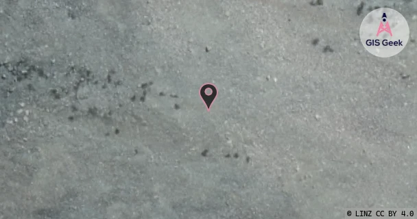
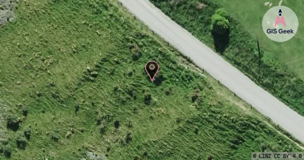
The link registered to Connectivity Infrastructure Services Limited is a Ku band link at 13.157GHz. It transmits from Mt Hutt (Uml), and is received at Rakaia (Rctrak), a distance of 9.24km.
TX: GIS Geek | LINZ | GMaps | Street View
RX: GIS Geek | LINZ | GMaps | Street View
Login required to upload photos or suggest corrections.
TX Location Client Stats
| Client | Links |
|---|---|
| Ultimate Mobile Limited | 3 |
Licence and Location Details
| TX: Mt Hutt (Uml) | |
|---|---|
| Antenna | ANDREW - VHLP2-13 |
| Antenna Type | PARABOLIC X BAND |
| Equipment | Siae - |
| RX: Rakaia (Rctrak) | |
|---|---|
| Antenna | ANDREW - VHLP2-13 |
| Antenna Type | PARABOLIC X BAND |
| Equipment | Siae - |
Associated Licence
| #1: Rakaia (Rctrak) | |
|---|---|
| Frequency | 12.891GHz |
| Frequency Range | 12.863GHz - 12.919GHz |
| Channel Width | 56MHz |
| Channel Code | 13G3W |
| Power dBW(eirp) | 30 |
| Emission | 56M0D7WWX |
| Licence Type | Fixed >=1 GHz (Bi-directional) |
| Commenced | - |
| Licence Last Updated | - |
| RSM Licence ID | 241475 |
| RSM Licence # | 301423 |