Licence Overview
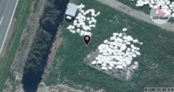
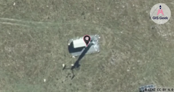
The link registered to Eonfibre Limited is a X band link at 10.915GHz. It transmits from Between 1636 And 1830 Methven Highway Ashburton Forks (Rcg Greenstreet Rctgst), and is received at Mt Alford (Vf Mt Hutt S4Mht), a distance of 21.22km.
TX: GIS Geek | LINZ | GMaps | Street View
RX: GIS Geek | LINZ | GMaps | Street View
Login required to upload photos or suggest corrections.
Licence and Location Details
| TX: Between 1636 And 1830 Methven Highway Ashburton Forks (Rcg Greenstreet Rctgst) | |
|---|---|
| Antenna | COMMSCOPE - VHLPX4-11W/A |
| Antenna Type | PARABOLIC 11 GHZ |
| Equipment | Siae - AGS20 |
| RX: Mt Alford (Vf Mt Hutt S4Mht) | |
|---|---|
| Antenna | COMMSCOPE - VHLPX4-11W/A |
| Antenna Type | PARABOLIC 11 GHZ |
| Equipment | Siae - AGS20 |
Associated Licence
| #1: Mt Alford (Vf Mt Hutt S4Mht) | |
|---|---|
| Frequency | 11.445GHz |
| Frequency Range | 11.405GHz - 11.485GHz |
| Channel Width | 80MHz |
| Channel Code | 11G3W# |
| Power dBW(eirp) | 37.7 |
| Emission | 80M0D7WET |
| Licence Type | Fixed >=1 GHz (Bi-directional) |
| Commenced | - |
| Licence Last Updated | - |
| RSM Licence ID | 232153 |
| RSM Licence # | 291378 |
Additional Links From RX Location
| Client | TX Location | Band | Frequency | RX Location |
|---|---|---|---|---|
| Eonfibre Limited | Ashburton | C | 6.96GHz | Mt Alford (Vf Mt Hutt S4Mht) |
| Eonfibre Limited | Ashburton | C | 7GHz | Mt Alford (Vf Mt Hutt S4Mht) |
| Eonfibre Limited | Ashburton | C | 7.926GHz | Mt Alford (Vf Mt Hutt S4Mht) |
| Eonfibre Limited | Cow Mt Hutt Ski Field (Vf Cow) | X | 10.755GHz | Mt Alford (Vf Mt Hutt S4Mht) |
| Eonfibre Limited | Mt Alford (Vf Mt Hutt S4Mht) | C | 6.62GHz | Ashburton |
| Eonfibre Limited | Mt Alford (Vf Mt Hutt S4Mht) | C | 6.66GHz | Ashburton |
| Eonfibre Limited | Mt Alford (Vf Mt Hutt S4Mht) | X | 8.237GHz | Ashburton |
| Eonfibre Limited | Mt Alford (Vf Mt Hutt S4Mht) | X | 11.285GHz | Cow Mt Hutt Ski Field (Vf Cow) |
| Eonfibre Limited | Mt Alford (Vf Mt Hutt S4Mht) | X | 11.365GHz | Round Top (Vf S3Rnd) |
| Eonfibre Limited | Round Top (Vf S3Rnd) | X | 10.835GHz | Mt Alford (Vf Mt Hutt S4Mht) |