
Licence Overview
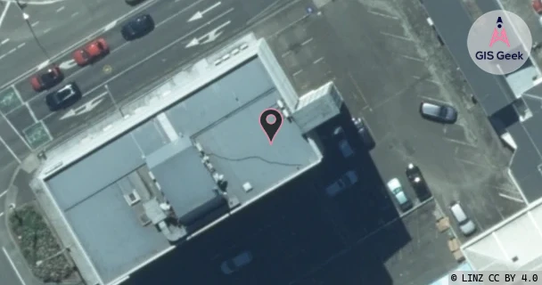
The link registered to Inspire Net Limited is a X band link at 11.365GHz. It transmits from 20 Grey Street Palmerston North, and is received at Pahiatua Track (Rural Wireless), a distance of 11.41km.
TX: GIS Geek | LINZ | GMaps | Street View
RX: GIS Geek | LINZ | GMaps | Street View
Login required to upload photos or suggest corrections.
TX Location Client Stats
| Client | Links |
|---|---|
| Inspire Net Limited | 3 |
| Vital Limited | 2 |
Licence and Location Details
| TX: 20 Grey Street Palmerston North | |
|---|---|
| Antenna | SHENGLU - SLU0911SS |
| Antenna Type | PARABOLIC 11G BAND |
| Equipment | Ubiquiti - AIRFIBER AF 11FX |
| RX: Pahiatua Track (Rural Wireless) | |
|---|---|
| Antenna | SHENGLU - SLU0911SS |
| Antenna Type | PARABOLIC 11G BAND |
| Equipment | Ubiquiti - AIRFIBER AF 11FX |
Associated Licence
| #1: Pahiatua Track (Rural Wireless) | |
|---|---|
| Frequency | 10.835GHz |
| Frequency Range | 10.815GHz - 10.855GHz |
| Channel Width | 40MHz |
| Channel Code | 11G4 |
| Power dBW(eirp) | 26 |
| Emission | 40M0F7WWX |
| Licence Type | Fixed >=1 GHz (Bi-directional) |
| Commenced | - |
| Licence Last Updated | - |
| RSM Licence ID | 188869 |
| RSM Licence # | 256028 |
Additional Links From TX Location
| Client | TX Location | Band | Frequency | RX Location |
|---|---|---|---|---|
| Inspire Net Limited | 20 Grey Street Palmerston North | X | 11.245GHz | Wharite (Inspire) |
| Inspire Net Limited | 20 Grey Street Palmerston North | X | 11.325GHz | 349 Heights Road Shannon (Inspire) |
| Inspire Net Limited | 349 Heights Road Shannon (Inspire) | X | 10.795GHz | 20 Grey Street Palmerston North |
| Inspire Net Limited | Wharite (Inspire) | X | 10.715GHz | 20 Grey Street Palmerston North |
| Vital Limited | 65 Rangitikei St Palmerston North Central (Mnw-040... | K | 21.518GHz | Palmerston North Airport |
| Vital Limited | Palmerston North Airport | K | 22.75GHz | 65 Rangitikei St Palmerston North Central (Mnw-040... |