
Licence Overview
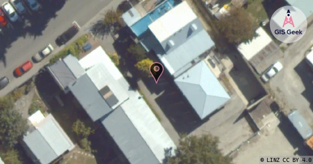
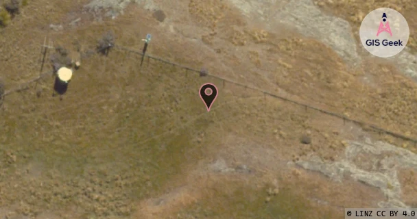
The link registered to Fire And Emergency New Zealand is a UHF band link at 450.21MHz. It transmits from Queenstown Fire Station, and is received at Peninsula Hill (Bcl Site), a distance of 5.01km.
TX: GIS Geek | LINZ | GMaps | Street View
RX: GIS Geek | LINZ | GMaps | Street View
Login required to upload photos or suggest corrections.
TX Location Client Stats
| Client | Links |
|---|---|
| Fire And Emergency New Zealand | 1 |
Licence and Location Details
| TX: Queenstown Fire Station | |
|---|---|
| Antenna | HI-TECH - CY6U |
| Antenna Type | 6 ELEMENT UHF YAGI |
| Equipment | Salcom - |
| RX: Peninsula Hill (Bcl Site) | |
|---|---|
| Antenna | HI-TECH - CY6U |
| Antenna Type | 6 ELEMENT UHF YAGI |
| Equipment | Salcom - 11-23 |
Additional Links From TX Location
| Client | TX Location | Band | Frequency | RX Location |
|---|---|---|---|---|
| Fire And Emergency New Zealand | Queenstown Fire Station | UHF | 450.21MHz | Deer Park Heights |
Additional Links From RX Location
| Client | TX Location | Band | Frequency | RX Location |
|---|---|---|---|---|
| Lightspeed Technology Group Limited | Du Lac Apartments, Queenstown | V | 75GHz | Peninsula Hill |
| Lightspeed Technology Group Limited | Peninsula Hill | W | 85GHz | Du Lac Apartments, Queenstown |
| Mediaworks Radio Limited | Peninsula Hill (Bcl Site) | UHF | 933.75MHz | Coronet Peak (Airways) |