Licence Overview
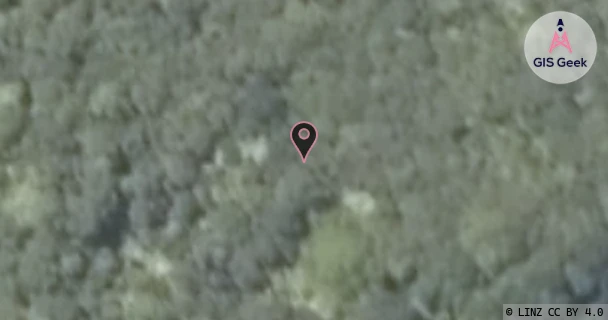
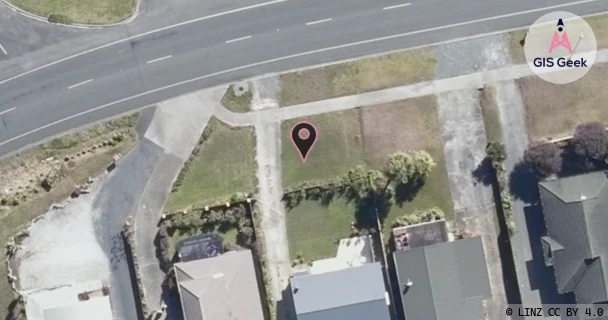
The link registered to Far North Radio And Sea Rescue Incorporated is a UHF band link at 421.44MHz. It transmits from Te Paki, and is received at Coopers Beach, a distance of 88.74km.
TX: GIS Geek | LINZ | GMaps | Street View
RX: GIS Geek | LINZ | GMaps | Street View
Login required to upload photos or suggest corrections.
TX Location Client Stats
| Client | Links |
|---|---|
| Department Of Conservation | 2 |
| Far North Radio And Sea Rescue Incorporated | 2 |
| Maritime New Zealand | 2 |
Licence and Location Details
| TX: Te Paki | |
|---|---|
| Antenna | HITEC - Y6U |
| Antenna Type | 6 ELEMENT UHF YAGI |
| Equipment | Exicom - SR310 |
| RX: Coopers Beach | |
|---|---|
| Antenna | HITEC - Y6U |
| Antenna Type | 6 ELEMENT UHF YAGI |
| Equipment | Exicom - SR310 |
Associated Licence
| #1: Coopers Beach | |
|---|---|
| Frequency | 426.45MHz |
| Frequency Range | 426.438MHz - 426.463MHz |
| Channel Width | 25kHz |
| Channel Code | I558# |
| Power dBW(eirp) | 20 |
| Emission | 16K0F3EJN |
| Licence Type | Fixed <1 GHz; BW <=50 kHz (Bi-directional) |
| Commenced | - |
| Licence Last Updated | - |
| RSM Licence ID | 5852 |
| RSM Licence # | 139841 |
Additional Links From TX Location
| Client | TX Location | Band | Frequency | RX Location |
|---|---|---|---|---|
| Department Of Conservation | Mt Raetea | UHF | 425.15MHz | Te Paki |
| Department Of Conservation | Te Paki | UHF | 420.14MHz | Mt Raetea |
| Far North Radio And Sea Rescue Incorporated | Mt Camel | UHF | 426.3MHz | Te Paki |
| Far North Radio And Sea Rescue Incorporated | Te Paki | UHF | 421.29MHz | Mt Camel |
| Maritime New Zealand | Maungataniwha | UHF | 424.31MHz | Te Paki |
| Maritime New Zealand | Te Paki | UHF | 429.33MHz | Maungataniwha |