Licence Overview
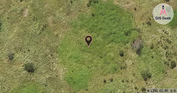
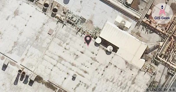
The link registered to Norske Skog Tasman Ltd is a UHF band link at 421.44MHz. It transmits from Whakatane River Estuary, and is received at Kawerau Mill, a distance of 27.93km.
TX: GIS Geek | LINZ | GMaps | Street View
RX: GIS Geek | LINZ | GMaps | Street View
Login required to upload photos or suggest corrections.
Licence and Location Details
| TX: Whakatane River Estuary | |
|---|---|
| Antenna | HI-TEC - CY8U |
| Antenna Type | 8 ELEMENT UHF YAGI |
| Equipment | Motorola - M120 |
| RX: Kawerau Mill | |
|---|---|
| Antenna | HI-TEC - CY8U |
| Antenna Type | 8 ELEMENT UHF YAGI |
| Equipment | Motorola - M120 |
Associated Licence
| #1: Kawerau Mill | |
|---|---|
| Frequency | 426.45MHz |
| Frequency Range | 426.438MHz - 426.463MHz |
| Channel Width | 25kHz |
| Channel Code | I558# |
| Power dBW(eirp) | 0 |
| Emission | 16K0F2DXN |
| Licence Type | Fixed Bi-directional Point-to-Multipoint |
| Commenced | - |
| Licence Last Updated | - |
| RSM Licence ID | 17721 |
| RSM Licence # | 128189 |