Location Overview
The 2Degrees Masterton Straights location is 18m high, has 6 licences associated, and is capable* of 3G UMTS, 4G LTE and 5G.
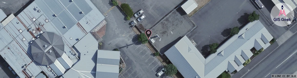
Location Raw Name: (WLG-048-002-B)[MENS]_MASTERTON STRAIGHTS
GIS Geek | LINZ | GMaps | Street View
Login required to upload photos or suggest corrections.
Closest Towers
| Provider | Location Name | Distance | Bearing |
|---|---|---|---|
| Spark | Masterton Exchange | 1.05km | 41.46 |
| OneNZ | Masterton Straits ONZ W3MEN | 116m | 217.32 |
| 2Degrees | Masterton | 1.79km | 19.46 |
| RCG | RWLTWH - Te Whiti | 8.45km | 171.49 |
Licence Details
Close Cell IDs 2Degrees MMC: 530 MNC: 24
| Radio | Area | Cell | Distance from tower | Bearing from tower | Samples |
|---|---|---|---|---|---|
| LTE | 62213 | 1669638 | 313m | 354.39 | 38 |
| UMTS | 22213 | 375744 | 317m | 215.8 | 3 |
| UMTS | 22213 | 355748 | 435m | 239.72 | 8 |
| GSM | 819 | 18501 | 464m | 56.35 | 4 |
| GSM | 819 | 18422 | 518m | 50.26 | 2 |
| LTE | 62213 | 1669636 | 658m | 225.63 | 12 |
| UMTS | 22213 | 375733 | 708m | 48.87 | 2 |
| UMTS | 22213 | 1669892 | 771m | 33.79 | 2 |
| GSM | 213 | 28063 | 826m | 221.57 | 2 |
| GSM | 213 | 28053 | 733m | 75.93 | 1 |
| LTE | 62213 | 1669634 | 780m | 64.11 | 12 |
| GSM | 213 | 28065 | 899m | 48.06 | 1 |