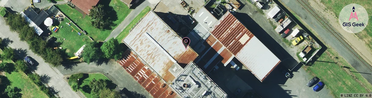
Location Overview
The Spark Matangi location is 20m high, has 5 licences associated, and is capable* of 3G UMTS and 4G LTE.
GIS Geek | LINZ | GMaps | Street View
Login required to upload photos or suggest corrections.
Closest Towers
| Provider | Location Name | Distance | Bearing |
|---|---|---|---|
| Spark | Airport Road Relocation | 4.33km | 230.89 |
| OneNZ | Matangi | 13m | 174.03 |
| 2Degrees | Matangi | 14m | 170.32 |
| RCG | RWKTAW - Tauwhare | 6.49km | 74.57 |
Licence Details
Close Cell IDs Spark MMC: 530 MNC: 5
| Radio | Area | Cell | Distance from tower | Bearing from tower | Samples |
|---|---|---|---|---|---|
| UMTS | 43102 | 2853351 | 44m | 260.72 | 3 |
| LTE | 4301 | 297605 | 892m | 5.23 | 1 |
| UMTS | 43101 | 2853351 | 1.06km | 359.83 | 1 |
| UMTS | 48399 | 2987105 | 1.41km | 18.43 | 1 |
| LTE | 4301 | 13009676 | 1.56km | 101.59 | 2 |
| UMTS | 43101 | 2853354 | 2.05km | 340.75 | 2 |
| UMTS | 43101 | 2853352 | 2.03km | 112.02 | 1 |
| UMTS | 48399 | 3173339 | 2.74km | 356.74 | 1 |
| UMTS | 48397 | 3173716 | 2.75km | 352 | 2 |
| UMTS | 48397 | 3173713 | 2.75km | 334.08 | 7 |