Location Overview
The 2Degrees Coronet location is 13m high, has 6 licences associated, and is capable* of 3G UMTS, 4G LTE and 5G.
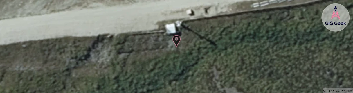
Location Raw Name: (OTG-070-003-A)[CRNT]_CORONET
GIS Geek | LINZ | GMaps | Street View
Login required to upload photos or suggest corrections.
Closest Towers
| Provider | Location Name | Distance | Bearing |
|---|---|---|---|
| Spark | Mt Dewar | 4.39km | 248.32 |
| OneNZ | Coronet Peak Chalet ONZ S5CPK | 448m | 87.71 |
| 2Degrees | S_Shotover Jet Hq | 8.47km | 218.76 |
| RCG | ROTWQT - West Queenstown | 28.53km | 220.89 |
Licence Details
Close Cell IDs 2Degrees MMC: 530 MNC: 24
| Radio | Area | Cell | Distance from tower | Bearing from tower | Samples |
|---|---|---|---|---|---|
| UMTS | 22219 | 424155 | 499m | 274.77 | 1 |
| UMTS | 22219 | 444151 | 665m | 264.19 | 2 |
| UMTS | 22219 | 424154 | 4.53km | 208.89 | 3 |
| UMTS | 40001 | 3034667 | 5.45km | 147.95 | 1 |
| UMTS | 40001 | 3034668 | 5.46km | 147.53 | 3 |
| UMTS | 22219 | 444149 | 6.36km | 218.32 | 7 |
| UMTS | 1302 | 19761081 | 7.29km | 225.7 | 1 |
| LTE | 62219 | 2803477 | 8.44km | 162.05 | 28 |
| UMTS | 22219 | 444017 | 8.46km | 160.61 | 18 |
| UMTS | 22219 | 19758691 | 8.83km | 172.66 | 1 |
| UMTS | 22219 | 444023 | 8.4km | 149.13 | 27 |
| LTE | 62219 | 1717506 | 8.96km | 164.12 | 24 |