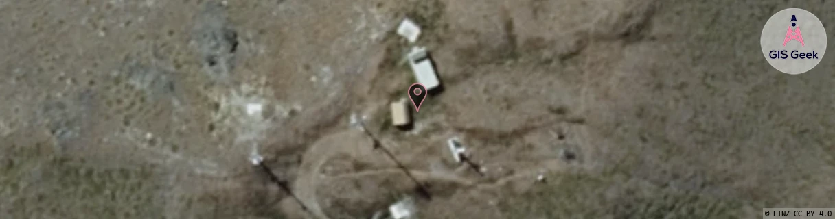
Location Overview
The Spark Mt Dewar location is 27m high, has 3 licences associated, and is capable* of 3G UMTS and 4G LTE.
GIS Geek | LINZ | GMaps | Street View
Login required to upload photos or suggest corrections.
Closest Towers
| Provider | Location Name | Distance | Bearing |
|---|---|---|---|
| Spark | Shotover Jet | 5.16km | 194.69 |
| OneNZ | Arthurs Point ONZ S5ATP | 4.21km | 180.66 |
| 2Degrees | Coronet | 4.39km | 68.36 |
| RCG | ROTWQT - West Queenstown | 24.71km | 216.23 |
Licence Details
Close Cell IDs Spark MMC: 530 MNC: 5
| Radio | Area | Cell | Distance from tower | Bearing from tower | Samples |
|---|---|---|---|---|---|
| UMTS | 28390 | 1495563 | 4.27km | 179.83 | 1 |
| UMTS | 1302 | 19785504 | 4.27km | 181.88 | 1 |
| UMTS | 28398 | 1495566 | 4.28km | 183.92 | 1 |
| UMTS | 22403 | 1430189 | 4.28km | 185.95 | 1 |
| UMTS | 28398 | 1493227 | 4.45km | 187.69 | 1 |
| UMTS | 28398 | 1493472 | 4.64km | 192.98 | 1 |