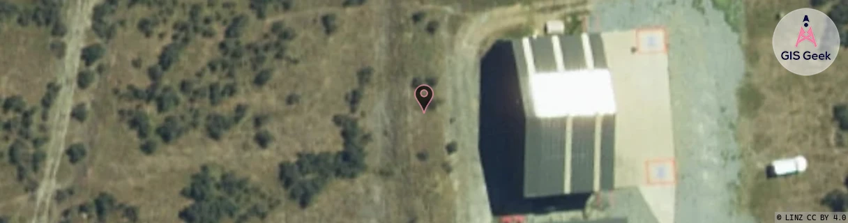
Location Overview
The Spark Helicopter Lines Mt Cook location is 12m high, has 1 licence associated, and is capable* of 3G UMTS.
GIS Geek | LINZ | GMaps | Street View
Login required to upload photos or suggest corrections.
Closest Towers
| Provider | Location Name | Distance | Bearing |
|---|---|---|---|
| Spark | Tasman Airport | 16.2km | 1.35 |
| OneNZ | Mt Cook Vodafone | 20.08km | 352.2 |
| 2Degrees | S_Mt Cook | 20.15km | 352.31 |
| RCG | RCTMDS - Mt Dobson Ski Field | 43.2km | 94.71 |
Licence Details
Close Cell IDs Spark MMC: 530 MNC: 5
| Radio | Area | Cell | Distance from tower | Bearing from tower | Samples |
|---|---|---|---|---|---|
| UMTS | 28398 | 1428898 | 826m | 152.4 | 3 |
| UMTS | 28398 | 1879777 | 1.49km | 198.74 | 152 |