Location Overview
The 2Degrees Rototuna location is 14m high, has 6 licences associated, and is capable* of 3G UMTS, 4G LTE and 5G.
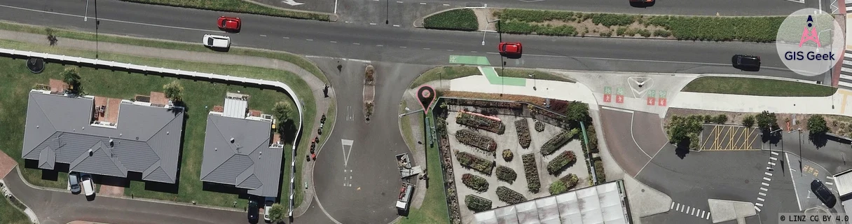
Location Raw Name: (WKT-016-024-C)[RTTA]_ROTOTUNA
GIS Geek | LINZ | GMaps | Street View
Login required to upload photos or suggest corrections.
Closest Towers
| Provider | Location Name | Distance | Bearing |
|---|---|---|---|
| Spark | Flagstaff East | 759m | 20.9 |
| OneNZ | Rototuna | 701m | 267.13 |
| 2Degrees | Rototuna East | 1.46km | 78.39 |
| RCG | RWKTPV - Temple View | 10.39km | 203.26 |
Licence Details
Close Cell IDs 2Degrees MMC: 530 MNC: 24
| Radio | Area | Cell | Distance from tower | Bearing from tower | Samples |
|---|---|---|---|---|---|
| GSM | 234 | 34942 | 143m | 81.88 | 1 |
| GSM | 234 | 5912 | 143m | 81.88 | 1 |
| GSM | 234 | 6282 | 143m | 81.88 | 17 |
| GSM | 234 | 5973 | 262m | 87.27 | 16 |
| UMTS | 22206 | 1614594 | 313m | 147.71 | 1 |
| LTE | 62206 | 1735937 | 318m | 51.99 | 31 |
| GSM | 206 | 19673 | 341m | 243.12 | 2 |
| GSM | 234 | 5962 | 399m | 220.33 | 3 |
| GSM | 234 | 6292 | 466m | 272.47 | 1 |
| LTE | 62206 | 1735939 | 601m | 186.63 | 35 |
| LTE | 62206 | 1735941 | 522m | 270.11 | 35 |
| GSM | 234 | 34483 | 750m | 166.51 | 2 |