Location Overview
The 2Degrees Rototuna East location is 15m high, has 3 licences associated, and is capable* of 3G UMTS and 4G LTE.
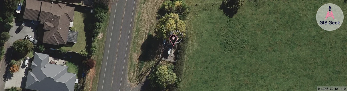
Location Raw Name: (WKT-016-016-D)[RTNE]_ROTOTUNA EAST
GIS Geek | LINZ | GMaps | Street View
Login required to upload photos or suggest corrections.
Closest Towers
| Provider | Location Name | Distance | Bearing |
|---|---|---|---|
| Spark | Rototuna | 918m | 179.2 |
| OneNZ | Gordonton Road ONZ C3GDN | 4m | 192.58 |
| 2Degrees | Rototuna | 1.46km | 258.38 |
| RCG | RWKTPV - Temple View | 11.29km | 209.32 |
Licence Details
Close Cell IDs 2Degrees MMC: 530 MNC: 24
| Radio | Area | Cell | Distance from tower | Bearing from tower | Samples |
|---|---|---|---|---|---|
| LTE | 62206 | 1790489 | 211m | 347.81 | 31 |
| UMTS | 22206 | 281921 | 278m | 216.35 | 5 |
| GSM | 234 | 5971 | 342m | 1.17 | 6 |
| LTE | 62206 | 1758210 | 396m | 28.78 | 37 |
| UMTS | 22206 | 271985 | 421m | 7.88 | 2 |
| UMTS | 22206 | 1735938 | 492m | 317.18 | 1 |