Location Overview
The 2Degrees Arrowtown location is 7m high, has 3 licences associated, and is capable* of 3G UMTS and 4G LTE.
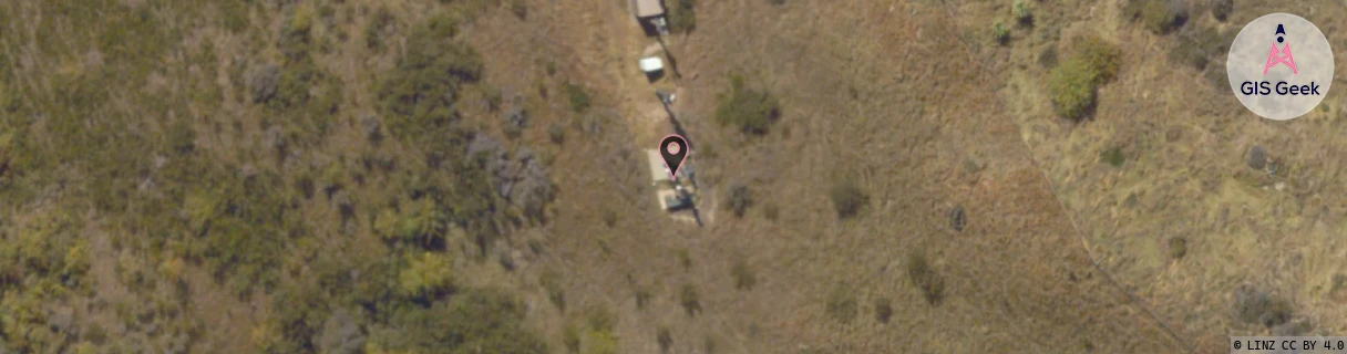
Location Raw Name: (OTG-070-009-A)[ARTN]_ARROWTOWN
GIS Geek | LINZ | GMaps | Street View
Login required to upload photos or suggest corrections.
Closest Towers
| Provider | Location Name | Distance | Bearing |
|---|---|---|---|
| Spark | Glencoe Station | 20m | 345.37 |
| OneNZ | Arrowtown Central | 41m | 325.73 |
| 2Degrees | S_Arrowtown Basin | 5.18km | 203.88 |
| RCG | ROTLWB - Lowburn | 27.38km | 101.01 |
Licence Details
Close Cell IDs 2Degrees MMC: 530 MNC: 24
| Radio | Area | Cell | Distance from tower | Bearing from tower | Samples |
|---|---|---|---|---|---|
| LTE | 62219 | 1729540 | 1.19km | 288.43 | 14 |
| UMTS | 22219 | 444279 | 1.81km | 286.92 | 28 |
| UMTS | 22219 | 424284 | 1.89km | 282.68 | 27 |
| UMTS | 22219 | 19785701 | 2.12km | 285.47 | 1 |
| LTE | 62219 | 1729538 | 3.12km | 169.32 | 45 |
| UMTS | 22219 | 424153 | 3.16km | 184.42 | 7 |