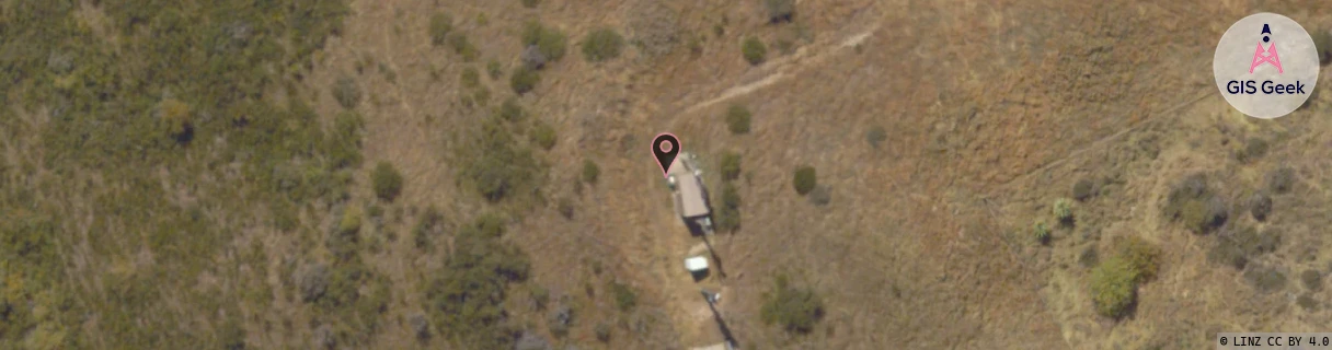
Location Overview
The Spark Glencoe Station location is 5m high, has 6 licences associated, and is capable* of 3G UMTS and 4G LTE.
GIS Geek | LINZ | GMaps | Street View
Login required to upload photos or suggest corrections.
Closest Towers
| Provider | Location Name | Distance | Bearing |
|---|---|---|---|
| Spark | Gibbston Valley Winery | 9.69km | 140.7 |
| OneNZ | Arrowtown Central | 24m | 309.26 |
| 2Degrees | Arrowtown | 20m | 165.37 |
| RCG | ROTLWB - Lowburn | 27.39km | 101.05 |
Licence Details
Close Cell IDs Spark MMC: 530 MNC: 5
| Radio | Area | Cell | Distance from tower | Bearing from tower | Samples |
|---|---|---|---|---|---|
| UMTS | 28390 | 1875989 | 719m | 299.34 | 1 |
| LTE | 28201 | 427891 | 1.56km | 229.37 | 2 |
| LTE | 28201 | 427894 | 1.44km | 293.98 | 2 |
| UMTS | 28390 | 1876049 | 1.44km | 250.76 | 8 |
| UMTS | 28390 | 1492773 | 1.51km | 297.87 | 1 |
| UMTS | 28390 | 1492839 | 1.6km | 233.41 | 2 |
| LTE | 28201 | 427889 | 1.73km | 273.92 | 5 |
| UMTS | 28390 | 1876439 | 2.46km | 159.59 | 2 |
| UMTS | 21401 | 1427237 | 1.96km | 294.49 | 1 |
| UMTS | 28390 | 1492836 | 2.01km | 291.63 | 2 |
| UMTS | 21401 | 1427240 | 2.53km | 146.98 | 1 |
| LTE | 28201 | 427887 | 2.54km | 218.19 | 11 |