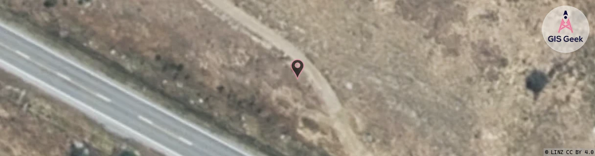
Location Overview
The Spark Gibbston Valley Winery location is 10m high, has 5 licences associated, and is capable* of 4G LTE.
GIS Geek | LINZ | GMaps | Street View
Login required to upload photos or suggest corrections.
Closest Towers
| Provider | Location Name | Distance | Bearing |
|---|---|---|---|
| Spark | Glencoe Station | 9.69km | 320.64 |
| OneNZ | Arrowtown Basin ONZ S5ATB | 8.67km | 288.36 |
| 2Degrees | S_Arrowtown Basin | 8.68km | 288.37 |
| RCG | ROTLWB - Lowburn | 20.86km | 83.76 |
Licence Details
Close Cell IDs Spark MMC: 530 MNC: 5
| Radio | Area | Cell | Distance from tower | Bearing from tower | Samples |
|---|---|---|---|---|---|
| UMTS | 28398 | 1430189 | 1.12km | 123.15 | 4 |
| UMTS | 21401 | 1428390 | 2.36km | 341.93 | 1 |
| UMTS | 21401 | 1427687 | 2.51km | 342.99 | 1 |
| UMTS | 22403 | 1875679 | 2.66km | 16.64 | 1 |
| UMTS | 28398 | 1430192 | 2.18km | 107.17 | 8 |
| UMTS | 21401 | 1427102 | 2.23km | 111.04 | 1 |
| UMTS | 28398 | 1495569 | 2.86km | 21.46 | 1 |
| UMTS | 28398 | 1427102 | 2.52km | 108.26 | 1 |
| UMTS | 28398 | 1876440 | 2.45km | 280.45 | 1 |
| LTE | 28171 | 438659 | 2.9km | 107.29 | 218 |