Location Overview
The Spark Hautapu location is 49m high, has 7 licences associated, and is capable* of 3G UMTS, 4G LTE and 5G.
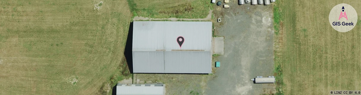
Location has been manually adjusted based on user feedback.
GIS Geek | LINZ | GMaps | Street View
Login required to upload photos or suggest corrections.
Closest Towers
| Provider | Location Name | Distance | Bearing |
|---|---|---|---|
| Spark | Watkins Tulip | 3.36km | 125.23 |
| OneNZ | Hautapu ONZ C4HTP | 1.4km | 137.2 |
| 2Degrees | Hautapu | 1m | 185.18 |
| RCG | RWKTAW - Tauwhare | 7.89km | 12.59 |
Licence Details
Close Cell IDs Spark MMC: 530 MNC: 5
| Radio | Area | Cell | Distance from tower | Bearing from tower | Samples |
|---|---|---|---|---|---|
| UMTS | 48397 | 3172259 | 241m | 82.34 | 6 |
| UMTS | 48399 | 3173703 | 449m | 72.55 | 1 |
| LTE | 4301 | 364931 | 706m | 237.33 | 1 |
| UMTS | 48399 | 3170274 | 846m | 116.06 | 2 |
| UMTS | 48397 | 3173703 | 1.07km | 36.21 | 1 |
| LTE | 4301 | 76931449 | 1.15km | 183.31 | 50 |
| UMTS | 48399 | 3170774 | 1.08km | 127.27 | 1 |
| UMTS | 48399 | 3173293 | 1.08km | 117.69 | 1 |
| UMTS | 48399 | 3173292 | 1.17km | 123.38 | 1 |
| UMTS | 48397 | 3173294 | 1.42km | 172.4 | 9 |
| UMTS | 48397 | 3173292 | 1.39km | 150.98 | 7 |
| UMTS | 48397 | 3173290 | 1.47km | 0.46 | 5 |
| UMTS | 43101 | 2852595 | 1.44km | 219.59 | 1 |
| LTE | 4301 | 264573 | 1.55km | 162.56 | 9 |