Location Overview
The 2Degrees Hautapu location is 40m high, has 6 licences associated, and is capable* of 3G UMTS, 4G LTE and 5G.
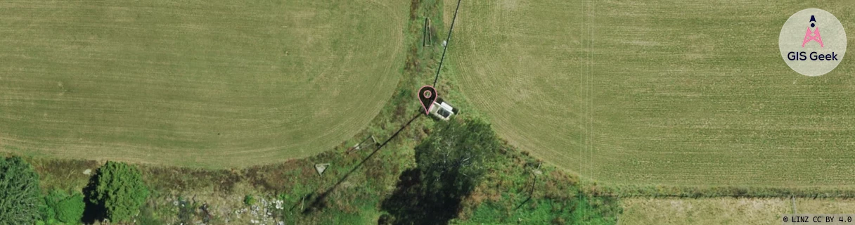
Location Raw Name: (WKT-017-027-A)[HTPU]_HAUTAPU
GIS Geek | LINZ | GMaps | Street View
Login required to upload photos or suggest corrections.
Closest Towers
| Provider | Location Name | Distance | Bearing |
|---|---|---|---|
| Spark | Hautapu | 1m | 5.18 |
| OneNZ | Hautapu ONZ C4HTP | 1.4km | 137.16 |
| 2Degrees | Williams St Aau | 3.3km | 153.16 |
| RCG | RWKTAW - Tauwhare | 7.89km | 12.59 |
Licence Details
Close Cell IDs 2Degrees MMC: 530 MNC: 24
| Radio | Area | Cell | Distance from tower | Bearing from tower | Samples |
|---|---|---|---|---|---|
| UMTS | 22206 | 269942 | 1.34km | 248.34 | 403 |
| GSM | 207 | 17475 | 1.61km | 64.64 | 3 |
| UMTS | 22207 | 269609 | 2.06km | 125.17 | 1 |
| LTE | 62206 | 1736471 | 2.02km | 241.6 | 50 |
| UMTS | 22206 | 280913 | 2.25km | 215.02 | 2 |
| LTE | 62206 | 1663338 | 2.29km | 142.82 | 2 |
| GSM | 206 | 17794 | 2.18km | 302.45 | 6 |
| LTE | 62206 | 1663344 | 2.88km | 145.87 | 30 |
| UMTS | 62206 | 1663238 | 3.25km | 164.12 | 2 |
| UMTS | 22206 | 269551 | 3.04km | 137.2 | 1 |
| LTE | 62206 | 1663238 | 3.36km | 161.49 | 15 |
| GSM | 206 | 19661 | 2.84km | 76.41 | 3 |