Location Overview
The 2Degrees Kaikorai location is 12m high, has 5 licences associated, and is capable* of 3G UMTS and 4G LTE.
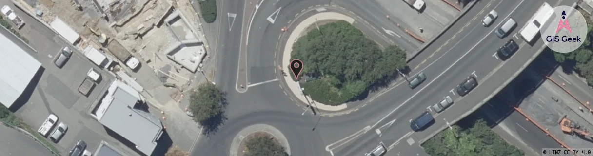
Location Raw Name: (OTG-071-020-E)[KKRI]_KAIKORAI
GIS Geek | LINZ | GMaps | Street View
Login required to upload photos or suggest corrections.
Closest Towers
| Provider | Location Name | Distance | Bearing |
|---|---|---|---|
| Spark | Maori Hill | 1.17km | 39.33 |
| OneNZ | Tyne Street Substation ONZ S5TSS | 99m | 321.76 |
| 2Degrees | Maori Hill | 1.21km | 40.02 |
| RCG | ROTMHW - Mihiwaka | 14.82km | 47.39 |
Licence Details
Close Cell IDs 2Degrees MMC: 530 MNC: 24
| Radio | Area | Cell | Distance from tower | Bearing from tower | Samples |
|---|---|---|---|---|---|
| UMTS | 22219 | 452987 | 117m | 38.78 | 6 |
| UMTS | 22219 | 432995 | 114m | 251.03 | 6 |
| UMTS | 22219 | 452991 | 332m | 282.73 | 3 |
| UMTS | 22219 | 3028798 | 476m | 231.8 | 4 |
| LTE | 62219 | 1729797 | 469m | 240.84 | 1 |
| LTE | 62219 | 1776641 | 614m | 350.91 | 1 |
| UMTS | 22219 | 432994 | 541m | 109.21 | 8 |
| UMTS | 22219 | 452989 | 716m | 116.71 | 17 |
| UMTS | 22219 | 432895 | 1.05km | 3.65 | 5 |
| LTE | 62219 | 1634566 | 852m | 120.41 | 32 |