Location Overview
The 2Degrees Ngongotaha Town location is 21m high, has 6 licences associated, and is capable* of 3G UMTS, 4G LTE and 5G.
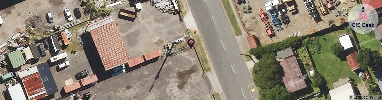
Location has been manually adjusted based on user feedback.
Location Raw Name: (BOP-024-030-A)[NGON]_NGONGOTAHA TOWN
GIS Geek | LINZ | GMaps | Street View
Login required to upload photos or suggest corrections.
Closest Towers
| Provider | Location Name | Distance | Bearing |
|---|---|---|---|
| Spark | Ngongotaha Industrial | 145m | 254.54 |
| OneNZ | Ngongotaha | 1.8km | 206.92 |
| 2Degrees | Ngongotaha | 1.78km | 207.18 |
| RCG | RBPTPB - Te Pohue Bay | 9.81km | 90.19 |
Licence Details
Close Cell IDs 2Degrees MMC: 530 MNC: 24
| Radio | Area | Cell | Distance from tower | Bearing from tower | Samples |
|---|---|---|---|---|---|
| UMTS | 65535 | 1820161 | 240m | 255.35 | 1 |
| UMTS | 22207 | 1737222 | 240m | 255.35 | 1 |
| UMTS | 48982 | 281343 | 260m | 235.79 | 1 |
| LTE | 62207 | 1737222 | 354m | 263.06 | 2 |
| UMTS | 48982 | 271337 | 571m | 220.28 | 1 |
| UMTS | 48982 | 281342 | 571m | 220.28 | 1 |
| UMTS | 22207 | 281337 | 706m | 200.23 | 3 |
| UMTS | 22207 | 281343 | 926m | 293.1 | 8 |
| UMTS | 22207 | 271339 | 1.13km | 299.42 | 36 |
| LTE | 62207 | 1737220 | 1.35km | 216.72 | 32 |
| UMTS | 22207 | 271337 | 1.46km | 181.9 | 93 |
| UMTS | 22207 | 281342 | 1.66km | 184.23 | 99 |