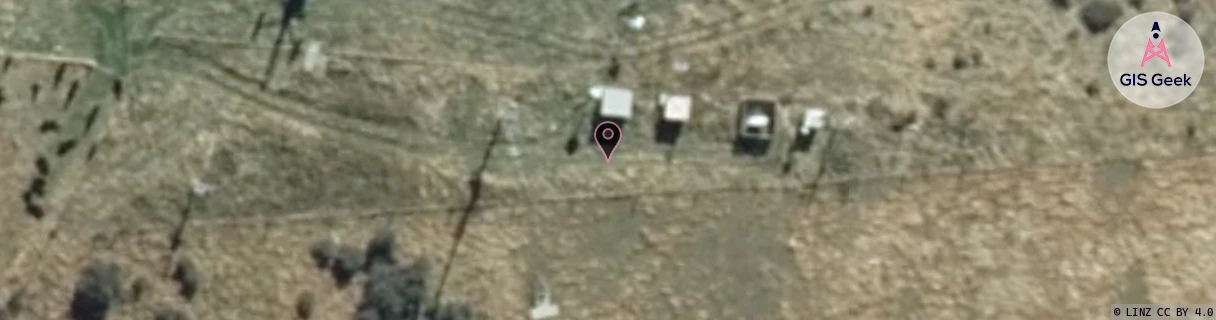
Location Overview
The Spark Hill End location is 24m high, has 5 licences associated, and is capable* of 3G UMTS and 4G LTE.
GIS Geek | LINZ | GMaps | Street View
Login required to upload photos or suggest corrections.
Closest Towers
| Provider | Location Name | Distance | Bearing |
|---|---|---|---|
| Spark | Meadowstone | 3.13km | 17.03 |
| OneNZ | Wanaka | 73m | 314.91 |
| 2Degrees | Wanaka | 78m | 340.75 |
| RCG | ROTASP - Mount Aspiring Road | 19.73km | 309.57 |
Licence Details
Close Cell IDs Spark MMC: 530 MNC: 5
| Radio | Area | Cell | Distance from tower | Bearing from tower | Samples |
|---|---|---|---|---|---|
| UMTS | 21401 | 1430418 | 1.49km | 105.93 | 1 |
| UMTS | 28398 | 1875276 | 2.43km | 34.13 | 1 |
| UMTS | 28398 | 1875283 | 2.43km | 34.13 | 1 |
| UMTS | 28398 | 1875270 | 2.43km | 34.13 | 1 |
| UMTS | 28398 | 1875286 | 2.8km | 35.65 | 1 |
| UMTS | 28398 | 1878880 | 2.88km | 34.06 | 8 |
| LTE | 28171 | 500091 | 2.84km | 38.67 | 3 |
| UMTS | 21401 | 1429721 | 3.19km | 18.3 | 1 |
| UMTS | 28398 | 316785 | 3.27km | 353.95 | 1 |
| UMTS | 28398 | 1430417 | 3.29km | 348.71 | 1 |