Location Overview
The 2Degrees Wanaka location is 24m high, has 5 licences associated, and is capable* of 3G UMTS and 4G LTE.
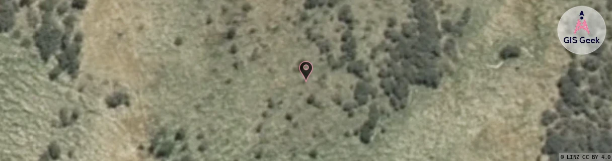
Location Raw Name: (OTG-070-011-A)[WNKH]_WANAKA
GIS Geek | LINZ | GMaps | Street View
Login required to upload photos or suggest corrections.
Closest Towers
| Provider | Location Name | Distance | Bearing |
|---|---|---|---|
| Spark | Hill End | 78m | 160.75 |
| OneNZ | Wanaka | 34m | 230.08 |
| 2Degrees | Wanaka Central | 3.94km | 20.88 |
| RCG | ROTASP - Mount Aspiring Road | 19.67km | 309.46 |
Licence Details
Close Cell IDs 2Degrees MMC: 530 MNC: 24
| Radio | Area | Cell | Distance from tower | Bearing from tower | Samples |
|---|---|---|---|---|---|
| UMTS | 22219 | 19785951 | 2.44km | 51.56 | 1 |
| UMTS | 22219 | 19772764 | 3.02km | 200.19 | 1 |
| UMTS | 22219 | 452248 | 2.83km | 41.47 | 4 |
| UMTS | 22219 | 448239 | 3.16km | 32.37 | 1 |
| UMTS | 22219 | 448244 | 3.12km | 38 | 1 |
| LTE | 62219 | 1841766 | 3.49km | 2.51 | 1 |
| LTE | 62219 | 1841778 | 3.46km | 26.07 | 25 |
| UMTS | 22219 | 448241 | 3.66km | 23.54 | 1 |
| UMTS | 22219 | 976535 | 3.87km | 9.16 | 13 |
| LTE | 62219 | 2982425 | 3.92km | 25.43 | 9 |