Location Overview
The 2Degrees Lyttelton location is 19m high, has 6 licences associated, and is capable* of 3G UMTS, 4G LTE and 5G.
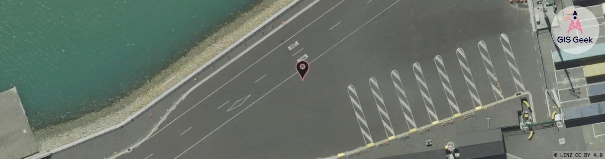
Location has been manually adjusted based on user feedback.
Location Raw Name: (CHC-060-048-A)[LTTN]_LYTTELTON
GIS Geek | LINZ | GMaps | Street View
Login required to upload photos or suggest corrections.
Closest Towers
| Provider | Location Name | Distance | Bearing |
|---|---|---|---|
| Spark | Mt Pleasant | 2.32km | 10.16 |
| OneNZ | Lyttelton VF S3LYN | 526m | 275.29 |
| 2Degrees | Lyttelton Tunnel | 2.78km | 334.29 |
| RCG | RCTPTL - Port Levy | 9.99km | 109.61 |
Licence Details
Close Cell IDs 2Degrees MMC: 530 MNC: 24
| Radio | Area | Cell | Distance from tower | Bearing from tower | Samples |
|---|---|---|---|---|---|
| UMTS | 30002 | 976417 | 127m | 232.06 | 6 |
| UMTS | 30002 | 182403 | 472m | 13.36 | 55 |
| UMTS | 30001 | 161859 | 455m | 62.72 | 1 |
| UMTS | 30001 | 161861 | 573m | 350.04 | 2 |
| UMTS | 30001 | 181857 | 597m | 336.06 | 1 |
| UMTS | 30002 | 182250 | 758m | 336 | 2 |
| LTE | 63002 | 1727494 | 766m | 336.85 | 200 |
| UMTS | 30002 | 181857 | 768m | 326.33 | 50 |
| UMTS | 30001 | 162250 | 886m | 13.23 | 1 |
| LTE | 63002 | 1727490 | 678m | 103.39 | 108 |
| UMTS | 30001 | 181853 | 724m | 62.98 | 1 |
| UMTS | 30002 | 1727494 | 1.11km | 351.56 | 3 |