Location Overview
The 2Degrees S_Woodbourne Airbase location is 25m high, has 2 licences associated, and is capable* of 3G UMTS and 4G LTE.
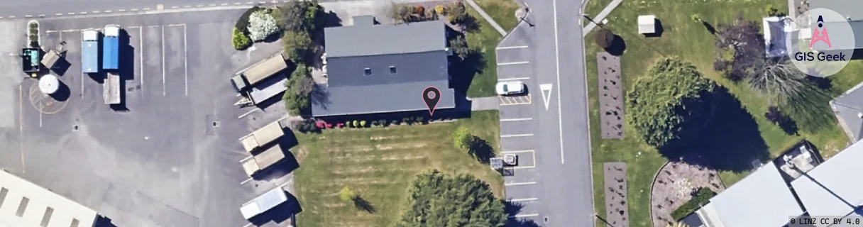
Location Raw Name: (MBN-053-042-A)[VWDA]_S_WOODBOURNE AIRBASE
GIS Geek | LINZ | GMaps | Street View
Login required to upload photos or suggest corrections.
Closest Towers
| Provider | Location Name | Distance | Bearing |
|---|---|---|---|
| Spark | Renwick | 3.73km | 281.04 |
| OneNZ | Woodbourne Airbase ONZ S2WDA | 58m | 101.19 |
| 2Degrees | Renwick Exchange Cow | 3.74km | 281.12 |
| RCG | RMLRRG - Rarangi | 19.31km | 48.3 |
Licence Details
Close Cell IDs 2Degrees MMC: 530 MNC: 24
| Radio | Area | Cell | Distance from tower | Bearing from tower | Samples |
|---|---|---|---|---|---|
| GSM | 199 | 36681 | 1.5km | 332.47 | 3 |
| GSM | 24 | 24052 | 1.72km | 168.77 | 1 |
| LTE | 62299 | 1708806 | 1.63km | 63.9 | 7 |
| GSM | 24 | 24053 | 2.04km | 297.96 | 7 |