Location Overview
The OneNZ Woodbourne Airbase ONZ S2WDA location is 25m high, has 8 licences associated, and is capable* of 2G GSM, 3G UMTS, 4G LTE and 5G.
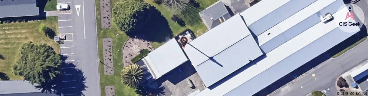
GIS Geek | LINZ | GMaps | Street View
Login required to upload photos or suggest corrections.
Closest Towers
| Provider | Location Name | Distance | Bearing |
|---|---|---|---|
| Spark | Renwick | 3.79km | 281.04 |
| OneNZ | Renwick Central (VF S2RWC) | 3.54km | 281.34 |
| 2Degrees | S_Woodbourne Airbase | 58m | 281.18 |
| RCG | RMLRRG - Rarangi | 19.27km | 48.16 |
Licence Details
Close Cell IDs OneNZ MMC: 530 MNC: 1
| Radio | Area | Cell | Distance from tower | Bearing from tower | Samples |
|---|---|---|---|---|---|
| LTE | 45104 | 343298 | 133m | 146.48 | 10 |
| UMTS | 1303 | 19781722 | 148m | 266.48 | 1 |
| UMTS | 1303 | 19781725 | 883m | 134.17 | 2 |
| GSM | 24 | 24053 | 823m | 284.02 | 250 |
| GSM | 26 | 24052 | 1.68km | 52.21 | 2 |
| LTE | 45104 | 387843 | 1.86km | 292.72 | 7 |
| GSM | 24 | 21861 | 1.83km | 83.04 | 2 |
| UMTS | 1303 | 19775382 | 2.33km | 236.6 | 1 |
| LTE | 45104 | 387842 | 2.91km | 183.85 | 1 |
| UMTS | 1303 | 19783162 | 2.87km | 26.99 | 22 |
| GSM | 24 | 24051 | 2.29km | 82.04 | 346 |
| GSM | 26 | 22132 | 2.85km | 67.22 | 5 |
| GSM | 24 | 24052 | 3.37km | 117.98 | 38 |
| UMTS | 1303 | 19781721 | 3.53km | 77.69 | 15 |
| UMTS | 1303 | 19781724 | 4.41km | 55.48 | 19 |
| UMTS | 1303 | 19781723 | 4.26km | 293.19 | 11 |