Location Overview
The Spark Tamahere location is 26m high, has 6 licences associated, and is capable* of 3G UMTS, 4G LTE and 5G.
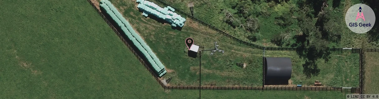
GIS Geek | LINZ | GMaps | Street View
Login required to upload photos or suggest corrections.
Closest Towers
| Provider | Location Name | Distance | Bearing |
|---|---|---|---|
| Spark | Airport Road Relocation | 3.75km | 308.68 |
| OneNZ | Tamahere East | 651m | 250.1 |
| 2Degrees | S_Tamahere East | 653m | 250.11 |
| RCG | RWKTAW - Tauwhare | 9.54km | 44.49 |
Licence Details
Close Cell IDs Spark MMC: 530 MNC: 5
| Radio | Area | Cell | Distance from tower | Bearing from tower | Samples |
|---|---|---|---|---|---|
| UMTS | 43101 | 2852639 | 458m | 132.83 | 2 |
| LTE | 4301 | 76928889 | 706m | 159.57 | 46 |
| LTE | 4301 | 308091 | 613m | 286.35 | 19 |
| UMTS | 48397 | 3172263 | 856m | 161.25 | 12 |
| UMTS | 43101 | 2854580 | 879m | 174.97 | 1 |
| UMTS | 48397 | 3172260 | 927m | 164.65 | 16 |
| LTE | 4301 | 76928893 | 1.01km | 148.26 | 36 |
| LTE | 4301 | 308081 | 972m | 120.72 | 15 |
| LTE | 4301 | 76928903 | 1.19km | 289.22 | 27 |
| LTE | 4301 | 308101 | 1.42km | 298 | 25 |
| LTE | 4301 | 76928901 | 1.46km | 292.16 | 41 |
| UMTS | 43101 | 2854584 | 1.6km | 294.53 | 1 |