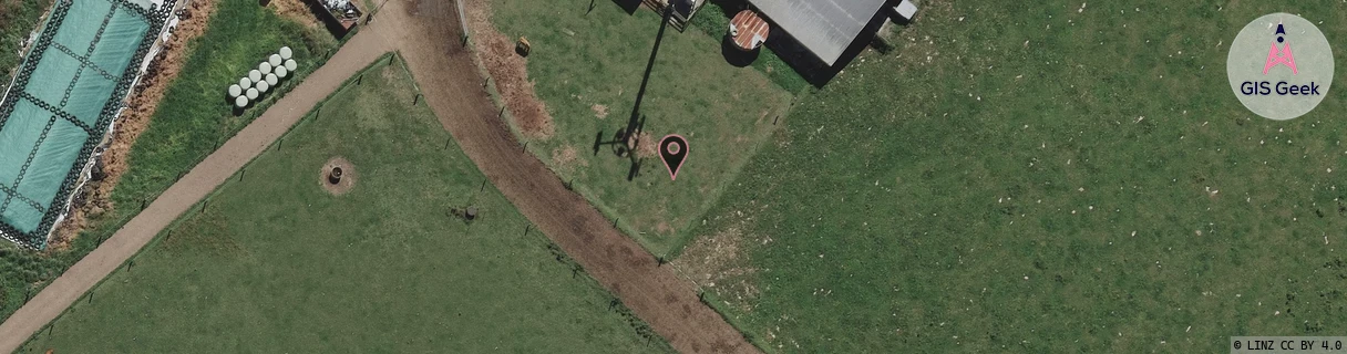
Location Overview
The 2Degrees S_Tamahere East location is 20m high, has 2 licences associated, and is capable* of 3G UMTS and 4G LTE.
Location Raw Name: (WKT-013-023-A)[VTME]_S_TAMAHERE EAST
GIS Geek | LINZ | GMaps | Street View
Login required to upload photos or suggest corrections.
Closest Towers
| Provider | Location Name | Distance | Bearing |
|---|---|---|---|
| Spark | Tamahere | 653m | 70.12 |
| OneNZ | Tamahere East | 2m | 78 |
| 2Degrees | Tamahere | 3.41km | 317.41 |
| RCG | RWKTAW - Tauwhare | 10.13km | 46.1 |
Licence Details
Close Cell IDs 2Degrees MMC: 530 MNC: 24
| Radio | Area | Cell | Distance from tower | Bearing from tower | Samples |
|---|---|---|---|---|---|
| UMTS | 22206 | 1830915 | 388m | 28.32 | 1 |
| GSM | 234 | 34211 | 415m | 351.28 | 1 |
| GSM | 234 | 34661 | 699m | 317.31 | 1 |
| UMTS | 22206 | 271041 | 931m | 307.57 | 3 |