Location Overview
The 2Degrees Oxford location is 11m high, has 4 licences associated, and is capable* of 3G UMTS and 4G LTE.
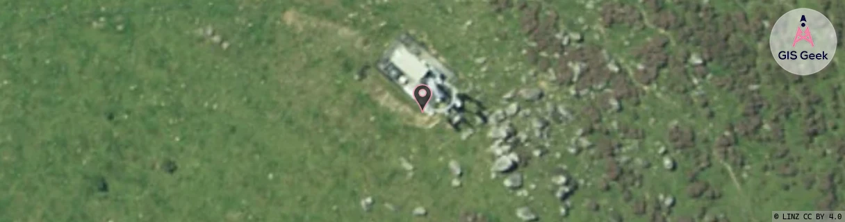
Location Raw Name: (CAN-059-001-A)[OXFO]_OXFORD
GIS Geek | LINZ | GMaps | Street View
Login required to upload photos or suggest corrections.
Closest Towers
| Provider | Location Name | Distance | Bearing |
|---|---|---|---|
| Spark | Oxford | 582m | 146.41 |
| OneNZ | Canterbury/Oxford | 8m | 337.38 |
| 2Degrees | Cust | 13.68km | 90.77 |
| RCG | RCTEYW - Eyrewell | 20.64km | 144.96 |
Licence Details
Close Cell IDs 2Degrees MMC: 530 MNC: 24
| Radio | Area | Cell | Distance from tower | Bearing from tower | Samples |
|---|---|---|---|---|---|
| LTE | 62216 | 1784587 | 2.84km | 144.95 | 1 |
| LTE | 62216 | 1768714 | 2.84km | 144.95 | 1 |
| LTE | 62216 | 1769228 | 3.21km | 145.69 | 1 |
| LTE | 62216 | 1768972 | 5.18km | 219.94 | 1 |
| UMTS | 22216 | 432714 | 6.4km | 179.93 | 8 |
| UMTS | 22216 | 452709 | 6.95km | 201.6 | 92 |
| LTE | 62216 | 1768971 | 7.01km | 232.77 | 1 |
| GSM | 216 | 38783 | 9.28km | 135.74 | 5 |