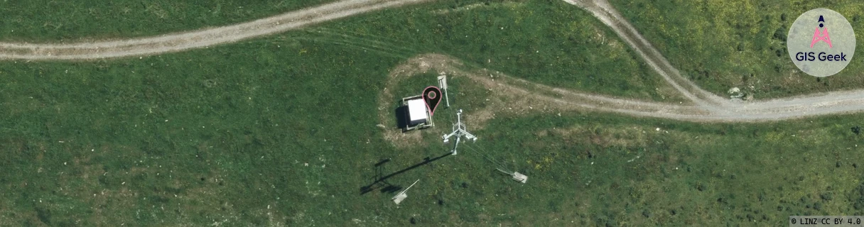
Location Overview
The Spark Oxford location is 17m high, has 4 licences associated, and is capable* of 3G UMTS and 4G LTE.
GIS Geek | LINZ | GMaps | Street View
Login required to upload photos or suggest corrections.
Closest Towers
| Provider | Location Name | Distance | Bearing |
|---|---|---|---|
| Spark | Oxford | 0m | 0 |
| OneNZ | Canterbury/Oxford | 590m | 326.55 |
| 2Degrees | Oxford | 582m | 326.41 |
| RCG | RCTEYW - Eyrewell | 20.06km | 144.92 |
Licence Details
Close Cell IDs Spark MMC: 530 MNC: 5
| Radio | Area | Cell | Distance from tower | Bearing from tower | Samples |
|---|---|---|---|---|---|
| LTE | 28221 | 411003 | 2.42km | 163.01 | 23 |
| UMTS | 24999 | 1493567 | 2.64km | 136.74 | 2 |
| LTE | 28221 | 411013 | 2.88km | 205.93 | 14 |
| LTE | 28221 | 411015 | 3.18km | 210.08 | 7 |
| UMTS | 24402 | 1624638 | 3.41km | 48.37 | 1 |
| LTE | 28221 | 410991 | 3.31km | 122.16 | 12 |
| LTE | 15624 | 26602106 | 4.56km | 163.76 | 1 |
| LTE | 28221 | 410993 | 3.96km | 116.45 | 6 |