Location Overview
The 2Degrees Outer Kaiti location is 18m high, has 3 licences associated, and is capable* of 3G UMTS and 4G LTE.
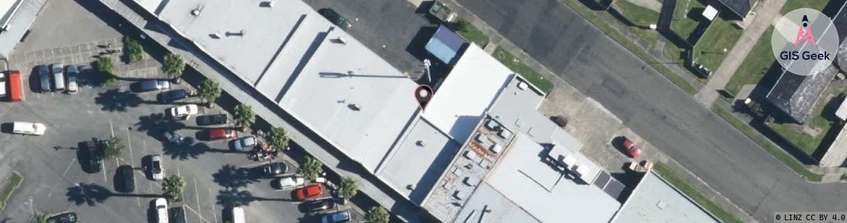
Location Raw Name: (GSB-028-015-C)[OKAI]_OUTER KAITI
GIS Geek | LINZ | GMaps | Street View
Login required to upload photos or suggest corrections.
Closest Towers
| Provider | Location Name | Distance | Bearing |
|---|---|---|---|
| Spark | Kaiti Hill | 1.28km | 257.23 |
| OneNZ | Kaiti ONZ W1KTI | 259m | 338.78 |
| 2Degrees | Outer_Kaiti | 0m | 0 |
| RCG | RGBTBC - Tatapouri Beach Camp | 9.19km | 69.32 |
Licence Details
Close Cell IDs 2Degrees MMC: 530 MNC: 24
| Radio | Area | Cell | Distance from tower | Bearing from tower | Samples |
|---|---|---|---|---|---|
| UMTS | 22211 | 1637377 | 56m | 246.48 | 1 |
| LTE | 62211 | 1637633 | 141m | 81.47 | 2 |
| LTE | 62211 | 1637635 | 186m | 98.88 | 1 |
| UMTS | 22211 | 376839 | 442m | 264.64 | 3 |
| UMTS | 22211 | 1637637 | 464m | 269.53 | 2 |
| LTE | 62211 | 1637636 | 589m | 140.2 | 19 |