Location Overview
The 2Degrees St Andrews location is 24m high, has 5 licences associated, and is capable* of 3G UMTS and 4G LTE.
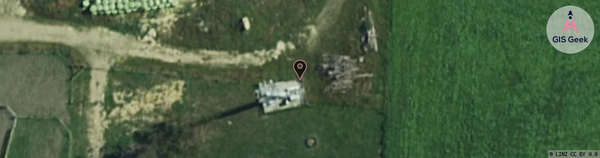
Location Raw Name: (CAN-066-007-A)[ANDW]_ST ANDREWS
GIS Geek | LINZ | GMaps | Street View
Login required to upload photos or suggest corrections.
Closest Towers
| Provider | Location Name | Distance | Bearing |
|---|---|---|---|
| Spark | St Andrews North | 0m | 0 |
| OneNZ | St Andrews | 0m | 0 |
| 2Degrees | Fairview | 10.45km | 37.01 |
| RCG | RCTCVS - Cave South | 22.46km | 318.69 |
Licence Details
Close Cell IDs 2Degrees MMC: 530 MNC: 24
| Radio | Area | Cell | Distance from tower | Bearing from tower | Samples |
|---|---|---|---|---|---|
| UMTS | 22216 | 452179 | 3.43km | 126.19 | 3 |
| UMTS | 22216 | 976465 | 3.08km | 78.65 | 104 |
| UMTS | 22216 | 19759172 | 3.83km | 138 | 1 |
| UMTS | 22216 | 452177 | 3.41km | 73.15 | 5 |
| UMTS | 22216 | 976467 | 4.32km | 150.29 | 68 |
| UMTS | 22216 | 452379 | 3.8km | 71.14 | 49 |
| GSM | 216 | 39163 | 4.58km | 59.86 | 5 |
| GSM | 216 | 39133 | 5.1km | 59.43 | 3 |
| LTE | 62216 | 2734600 | 6.86km | 57.58 | 16 |
| GSM | 27 | 22432 | 8.56km | 183.08 | 1 |