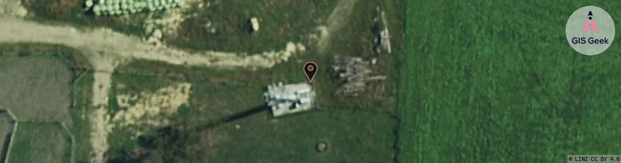
Location Overview
The Spark St Andrews North location is 25m high, has 3 licences associated, and is capable* of 3G UMTS and 4G LTE.
GIS Geek | LINZ | GMaps | Street View
Login required to upload photos or suggest corrections.
Closest Towers
| Provider | Location Name | Distance | Bearing |
|---|---|---|---|
| Spark | St Andrews | 8.41km | 185 |
| OneNZ | St Andrews | 0m | 0 |
| 2Degrees | St Andrews | 0m | 0 |
| RCG | RCTCVS - Cave South | 22.46km | 318.69 |
Licence Details
Close Cell IDs Spark MMC: 530 MNC: 5
| Radio | Area | Cell | Distance from tower | Bearing from tower | Samples |
|---|---|---|---|---|---|
| UMTS | 28396 | 1878560 | 3.64km | 138.16 | 1 |
| UMTS | 24402 | 1625635 | 3.66km | 137.63 | 6 |
| UMTS | 35202 | 2347312 | 3.71km | 132.28 | 2 |
| UMTS | 24402 | 1626415 | 3.98km | 143.66 | 1 |
| UMTS | 35202 | 2347315 | 3.94km | 141.26 | 3 |
| UMTS | 28396 | 1878559 | 3.34km | 68.24 | 4 |