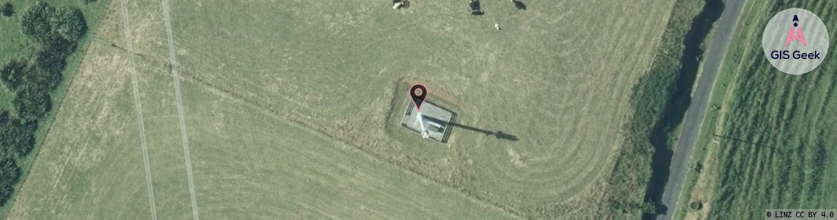
Location Overview
The 2Degrees S_Spotswood West location is 20m high, has 2 licences associated, and is capable* of 3G UMTS and 4G LTE.
Location Raw Name: (TNK-033-037-A)[VSWW]_S_SPOTSWOOD WEST
GIS Geek | LINZ | GMaps | Street View
Login required to upload photos or suggest corrections.
Closest Towers
| Provider | Location Name | Distance | Bearing |
|---|---|---|---|
| Spark | Blagdon Hill | 1.75km | 56.31 |
| OneNZ | Spotswood West (W2Sww) Vfnz | 1m | 181.18 |
| 2Degrees | Blagdon | 1.77km | 56.48 |
| RCG | RTRHUI - Huirangi | 19.39km | 83.05 |
Licence Details
Close Cell IDs 2Degrees MMC: 530 MNC: 24
| Radio | Area | Cell | Distance from tower | Bearing from tower | Samples |
|---|---|---|---|---|---|
| UMTS | 22212 | 1702918 | 820m | 39.44 | 1 |
| UMTS | 22212 | 375939 | 820m | 39.44 | 1 |
| UMTS | 22212 | 375935 | 952m | 33.97 | 1 |
| GSM | 212 | 28263 | 802m | 94 | 2 |