Location Overview
The 2Degrees Belfast location is 19m high, has 5 licences associated, and is capable* of 3G UMTS and 4G LTE.
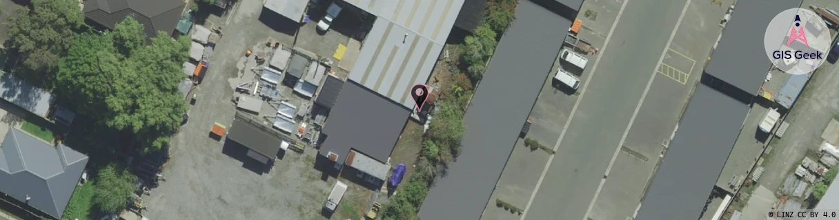
Location has been manually adjusted based on user feedback.
Location Raw Name: (CHC-060-029-A)[BLFS]_BELFAST
GIS Geek | LINZ | GMaps | Street View
Login required to upload photos or suggest corrections.
Closest Towers
| Provider | Location Name | Distance | Bearing |
|---|---|---|---|
| Spark | Belfast | 480m | 280.21 |
| OneNZ | Belfast VF S3BFT | 543m | 218.75 |
| 2Degrees | Clearwater | 2.37km | 251.37 |
| RCG | RCTTPI - The Pines Beach | 8.67km | 32.85 |
Licence Details
Close Cell IDs 2Degrees MMC: 530 MNC: 24
| Radio | Area | Cell | Distance from tower | Bearing from tower | Samples |
|---|---|---|---|---|---|
| UMTS | 30001 | 1726724 | 145m | 231.76 | 1 |
| GSM | 60 | 30463 | 393m | 260.82 | 99 |
| LTE | 63001 | 1726724 | 562m | 358.13 | 3 |
| LTE | 63001 | 2754569 | 540m | 325.53 | 16 |
| LTE | 63001 | 2754585 | 441m | 276.82 | 28 |
| GSM | 60 | 30465 | 780m | 352.72 | 162 |
| GSM | 60 | 30581 | 594m | 253.18 | 139 |
| UMTS | 30001 | 181537 | 608m | 277.23 | 18 |
| UMTS | 63001 | 1672962 | 641m | 256.94 | 1 |
| UMTS | 30001 | 161541 | 824m | 323.5 | 16 |