Location Overview
The Spark Belfast location is 20m high, has 6 licences associated, and is capable* of 3G UMTS, 4G LTE and 5G.
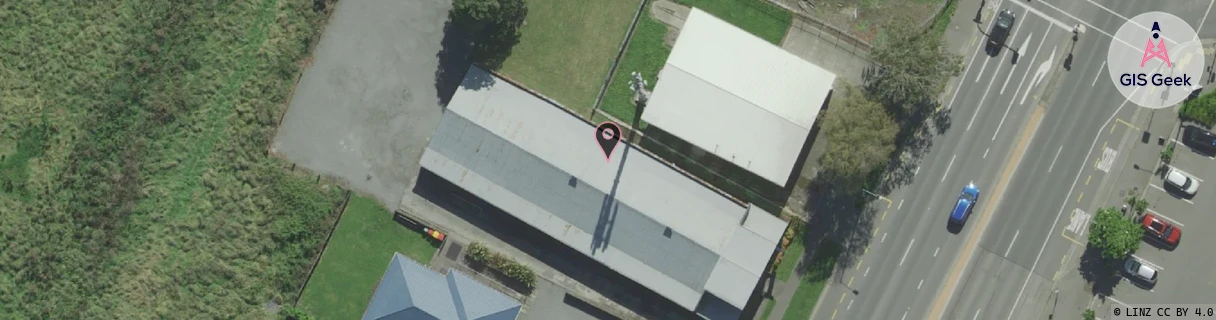
Location has been manually adjusted based on user feedback.
GIS Geek | LINZ | GMaps | Street View
Login required to upload photos or suggest corrections.
Closest Towers
| Provider | Location Name | Distance | Bearing |
|---|---|---|---|
| Spark | Redwood | 2.84km | 212.01 |
| OneNZ | Belfast VF S3BFT | 525m | 165.43 |
| 2Degrees | Belfast | 480m | 100.22 |
| RCG | RCTTPI - The Pines Beach | 8.87km | 35.71 |
Licence Details
Close Cell IDs Spark MMC: 530 MNC: 5
| Radio | Area | Cell | Distance from tower | Bearing from tower | Samples |
|---|---|---|---|---|---|
| UMTS | 28392 | 1875613 | 482m | 204.4 | 18 |
| LTE | 28151 | 15134240 | 636m | 210.41 | 1 |
| LTE | 28151 | 425593 | 709m | 214.71 | 35 |
| UMTS | 2401 | 15134240 | 571m | 265.44 | 7 |
| UMTS | 28392 | 1875616 | 758m | 209.09 | 48 |
| UMTS | 28393 | 1875612 | 760m | 41.99 | 1 |
| UMTS | 28392 | 1875617 | 831m | 32.33 | 22 |
| LTE | 28151 | 15134241 | 892m | 35.97 | 1 |
| UMTS | 28392 | 1875610 | 938m | 209.8 | 19 |
| LTE | 28151 | 425595 | 935m | 211.33 | 51 |
| LTE | 28151 | 425585 | 876m | 132.43 | 42 |
| LTE | 28151 | 425605 | 1.02km | 38.23 | 4 |