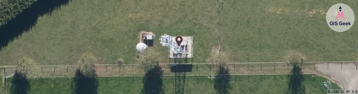
Location Overview
The 2Degrees Bunnythorpe location is 20m high, has 5 licences associated, and is capable* of 3G UMTS and 4G LTE.
Location Raw Name: (MNW-039-010-A)[BUNY]_BUNNYTHORPE
GIS Geek | LINZ | GMaps | Street View
Login required to upload photos or suggest corrections.
Closest Towers
| Provider | Location Name | Distance | Bearing |
|---|---|---|---|
| Spark | Bunnythorpe | 0m | 180 |
| OneNZ | Bunnythorpe | 0m | 180 |
| 2Degrees | Palmerston Air | 5.18km | 190.48 |
| RCG | RMWTMH - Tararua Manawatu Highway | 12.96km | 101.03 |
Licence Details
Close Cell IDs 2Degrees MMC: 530 MNC: 24
| Radio | Area | Cell | Distance from tower | Bearing from tower | Samples |
|---|---|---|---|---|---|
| GSM | 213 | 29401 | 1.52km | 235.05 | 2 |
| GSM | 213 | 29391 | 1.57km | 245.79 | 2 |
| UMTS | 22213 | 377007 | 2.03km | 189.2 | 2 |
| GSM | 213 | 29341 | 2.1km | 284 | 2 |
| GSM | 213 | 29321 | 2.84km | 207.96 | 1 |
| UMTS | 22213 | 377001 | 3.02km | 196.26 | 8 |
| LTE | 62213 | 1646338 | 3.84km | 184.38 | 14 |
| UMTS | 22213 | 357077 | 3.37km | 238.18 | 12 |
| UMTS | 22213 | 377077 | 4.27km | 338.15 | 5 |
| UMTS | 22213 | 357007 | 4.49km | 201.1 | 4 |