Location Overview
The 2Degrees Palmerston Air location is 22m high, has 6 licences associated, and is capable* of 3G UMTS, 4G LTE and 5G.
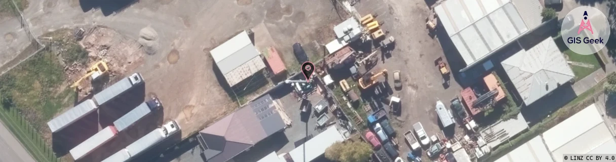
Location Raw Name: (MNW-040-016-F)[PMNA]_PALMERSTON AIR
GIS Geek | LINZ | GMaps | Street View
Login required to upload photos or suggest corrections.
Closest Towers
| Provider | Location Name | Distance | Bearing |
|---|---|---|---|
| Spark | Milson | 1.14km | 249.2 |
| OneNZ | Palmerston North Airport | 865m | 315.21 |
| 2Degrees | Kelvin Grove | 1.63km | 148.94 |
| RCG | RMWAKV - Aokautere Valley | 8.82km | 147.8 |
Licence Details
Close Cell IDs 2Degrees MMC: 530 MNC: 24
| Radio | Area | Cell | Distance from tower | Bearing from tower | Samples |
|---|---|---|---|---|---|
| GSM | 815 | 16231 | 163m | 130.4 | 1 |
| GSM | 213 | 29325 | 444m | 200.87 | 1 |
| UMTS | 22213 | 377009 | 569m | 307.29 | 28 |
| UMTS | 22213 | 377048 | 662m | 207.03 | 4 |
| LTE | 62213 | 1646342 | 612m | 254.15 | 20 |
| UMTS | 22213 | 357007 | 859m | 331.59 | 4 |
| LTE | 62213 | 1646340 | 766m | 117.89 | 14 |
| UMTS | 22213 | 1648898 | 1.19km | 173.16 | 1 |
| UMTS | 22213 | 1648390 | 1.35km | 173.94 | 1 |
| UMTS | 22213 | 377115 | 1.35km | 171.47 | 13 |
| LTE | 62213 | 1648390 | 1.3km | 150.37 | 4 |
| GSM | 213 | 29443 | 1.42km | 213.86 | 2 |