Location Overview
The OneNZ Palmerston North Airport location is 14m high, has 7 licences associated, and is capable* of 2G GSM, 3G UMTS, 4G LTE and 5G.
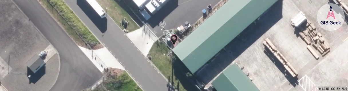
GIS Geek | LINZ | GMaps | Street View
Login required to upload photos or suggest corrections.
Closest Towers
| Provider | Location Name | Distance | Bearing |
|---|---|---|---|
| Spark | Milson | 1.12km | 204.15 |
| OneNZ | Milson | 1.83km | 214.09 |
| 2Degrees | Palmerston Air | 865m | 135.21 |
| RCG | RMWAKV - Aokautere Valley | 9.66km | 146.69 |
Licence Details
Close Cell IDs OneNZ MMC: 530 MNC: 1
| Radio | Area | Cell | Distance from tower | Bearing from tower | Samples |
|---|---|---|---|---|---|
| UMTS | 1605 | 26407170 | 402m | 140.11 | 10 |
| LTE | 43088 | 850433 | 449m | 62.02 | 2 |
| LTE | 43088 | 850434 | 586m | 172.06 | 8 |
| UMTS | 1605 | 57545 | 562m | 141.72 | 3 |
| GSM | 815 | 16231 | 710m | 147.73 | 705 |
| UMTS | 1605 | 4100 | 710m | 239.76 | 1 |
| LTE | 43088 | 261121 | 987m | 160.34 | 50 |
| UMTS | 1605 | 26380200 | 775m | 93.97 | 11 |
| GSM | 815 | 22609 | 1.04km | 203.65 | 3 |
| GSM | 815 | 22614 | 1.13km | 179.88 | 7 |
| UMTS | 1605 | 279197 | 989m | 240.81 | 1 |
| UMTS | 1605 | 26407841 | 1.21km | 193.25 | 1 |
| UMTS | 1605 | 26400722 | 1.03km | 242.18 | 5 |
| GSM | 815 | 16301 | 1.08km | 244.75 | 1125 |