Location Overview
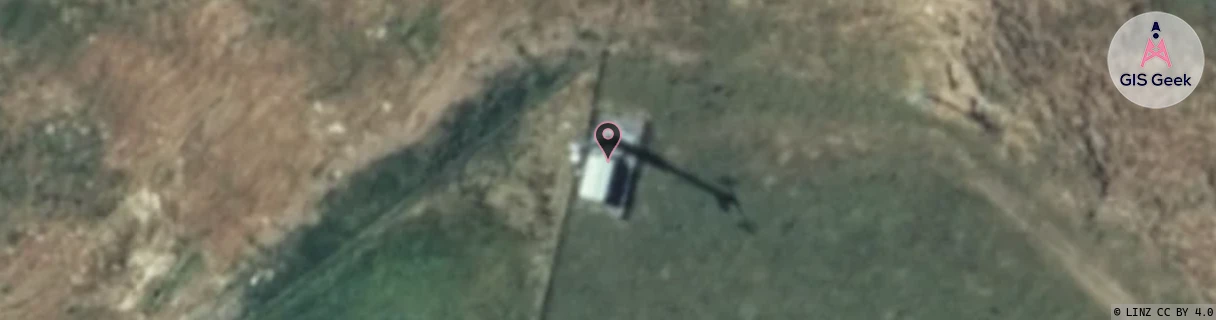
The 2Degrees S_Hunterville location is 22m high, has 2 licences associated, and is capable* of 3G UMTS and 4G LTE.
Location Raw Name: (MNW-038-015-A)[VHNV]_S_HUNTERVILLE
GIS Geek | LINZ | GMaps | Street View
Login required to upload photos or suggest corrections.
Closest Towers
| Provider | Location Name | Distance | Bearing |
|---|---|---|---|
| Spark | Hunterville | 1.77km | 70.34 |
| OneNZ | Hunterville (VF W3HNV) | 1m | 166.68 |
| 2Degrees | S_Ohingaiti Sh1 | 8.9km | 67.85 |
| RCG | RMWBCF - Beaconsfield | 13.85km | 163.31 |
Licence Details
Close Cell IDs 2Degrees MMC: 530 MNC: 24
| Radio | Area | Cell | Distance from tower | Bearing from tower | Samples |
|---|---|---|---|---|---|
| LTE | 62212 | 705934 | 1.5km | 290.14 | 50 |
| GSM | 14 | 16392 | 2.34km | 271.16 | 4 |
| UMTS | 22212 | 26401813 | 3.02km | 38.01 | 25 |
| LTE | 62212 | 705933 | 3.7km | 42.6 | 45 |