Location Overview
The 2Degrees S_Ohingaiti Sh1 location is 12m high, has 2 licences associated, and is capable* of 3G UMTS and 4G LTE.
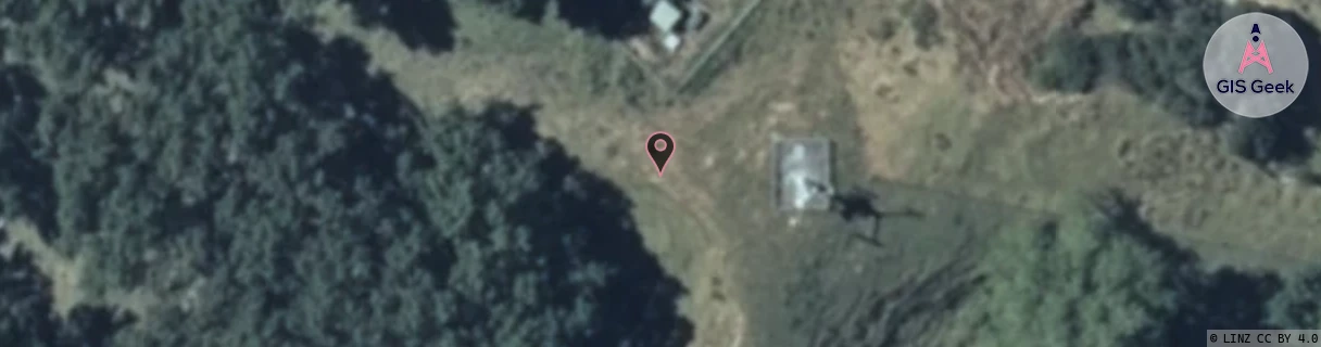
Location Raw Name: (MNW-039-019-A)[VOHI]_S_OHINGAITI SH1
GIS Geek | LINZ | GMaps | Street View
Login required to upload photos or suggest corrections.
Closest Towers
| Provider | Location Name | Distance | Bearing |
|---|---|---|---|
| Spark | Hunterville | 7.13km | 247.17 |
| OneNZ | Ohingaiti ONZ W3OHI | 24m | 20.55 |
| 2Degrees | S_Hunterville | 8.9km | 247.79 |
| RCG | RMWBCF - Beaconsfield | 17.16km | 194.32 |
Licence Details
Close Cell IDs 2Degrees MMC: 530 MNC: 24
| Radio | Area | Cell | Distance from tower | Bearing from tower | Samples |
|---|---|---|---|---|---|
| UMTS | 22212 | 26402703 | 3.1km | 314.82 | 24 |
| LTE | 62212 | 706958 | 3.53km | 283.93 | 50 |
| GSM | 14 | 16391 | 4.13km | 280.7 | 6 |
| GSM | 10 | 16402 | 4.64km | 248.46 | 1 |