Location Overview
The Spark Pukekohe location is 15m high, has 8 licences associated, and is capable* of 3G UMTS, 4G LTE and 5G.
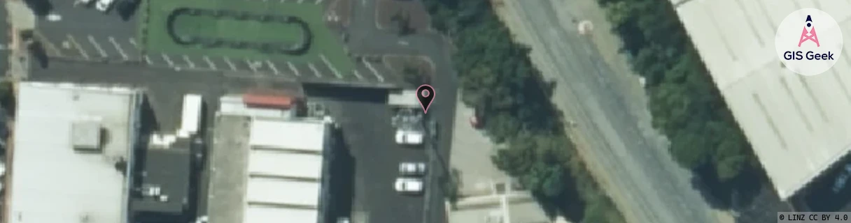
GIS Geek | LINZ | GMaps | Street View
Login required to upload photos or suggest corrections.
Closest Towers
| Provider | Location Name | Distance | Bearing |
|---|---|---|---|
| Spark | Pukekohe East | 1.38km | 75.96 |
| OneNZ | Pukekohe Township | 92m | 118.1 |
| 2Degrees | Pukekohe Township | 432m | 244.85 |
| RCG | RAKARR - Ararimu | 15.21km | 72.31 |
Licence Details
Close Cell IDs Spark MMC: 530 MNC: 5
| Radio | Area | Cell | Distance from tower | Bearing from tower | Samples |
|---|---|---|---|---|---|
| UMTS | 13305 | 885703 | 88m | 236.57 | 1 |
| UMTS | 18398 | 1207715 | 290m | 98.98 | 9 |
| LTE | 18131 | 357487 | 299m | 94.72 | 6 |
| UMTS | 18398 | 890030 | 317m | 261.81 | 1 |
| UMTS | 13305 | 890035 | 371m | 101.86 | 4 |
| UMTS | 18398 | 1203429 | 482m | 164.22 | 7 |
| UMTS | 13305 | 890033 | 458m | 247.75 | 14 |
| UMTS | 18398 | 890034 | 592m | 322.21 | 6 |
| UMTS | 18395 | 952856 | 690m | 74.15 | 2 |
| UMTS | 18398 | 1207709 | 760m | 49.66 | 6 |
| UMTS | 13305 | 890030 | 810m | 229.68 | 8 |
| UMTS | 18398 | 1204045 | 926m | 159.56 | 22 |
| UMTS | 13305 | 885704 | 875m | 303.17 | 1 |
| LTE | 18131 | 415345 | 1.02km | 159.01 | 1 |
| UMTS | 13305 | 890032 | 857m | 74.58 | 5 |
| UMTS | 18398 | 890037 | 1.02km | 329.59 | 7 |