Location Overview
The 2Degrees Pukekohe Township location is 14m high, has 3 licences associated, and is capable* of 3G UMTS and 4G LTE.
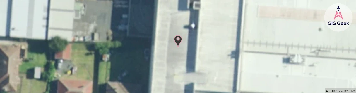
Location Raw Name: (AKL-010-015-J)[PUKT]_PUKEKOHE TOWNSHIP
GIS Geek | LINZ | GMaps | Street View
Login required to upload photos or suggest corrections.
Closest Towers
| Provider | Location Name | Distance | Bearing |
|---|---|---|---|
| Spark | Pukekohe | 432m | 64.85 |
| OneNZ | Pukekohe Township | 492m | 73.44 |
| 2Degrees | Pukekohe Stadium | 864m | 56.12 |
| RCG | RAKARR - Ararimu | 15.64km | 72.11 |
Licence Details
Close Cell IDs 2Degrees MMC: 530 MNC: 24
| Radio | Area | Cell | Distance from tower | Bearing from tower | Samples |
|---|---|---|---|---|---|
| UMTS | 10007 | 1714434 | 89m | 299.72 | 1 |
| GSM | 53 | 53613 | 291m | 19.5 | 1 |
| UMTS | 10007 | 602541 | 314m | 312.89 | 2 |
| UMTS | 10007 | 602251 | 358m | 210.87 | 6 |
| UMTS | 10007 | 602542 | 413m | 206.02 | 3 |
| LTE | 61007 | 1714434 | 424m | 71.2 | 2 |