Location Overview
The OneNZ Queenstown Airport (VF S5QTA) location is 15m high, has 9 licences associated, and is capable* of 2G GSM, 3G UMTS, 4G LTE and 5G.
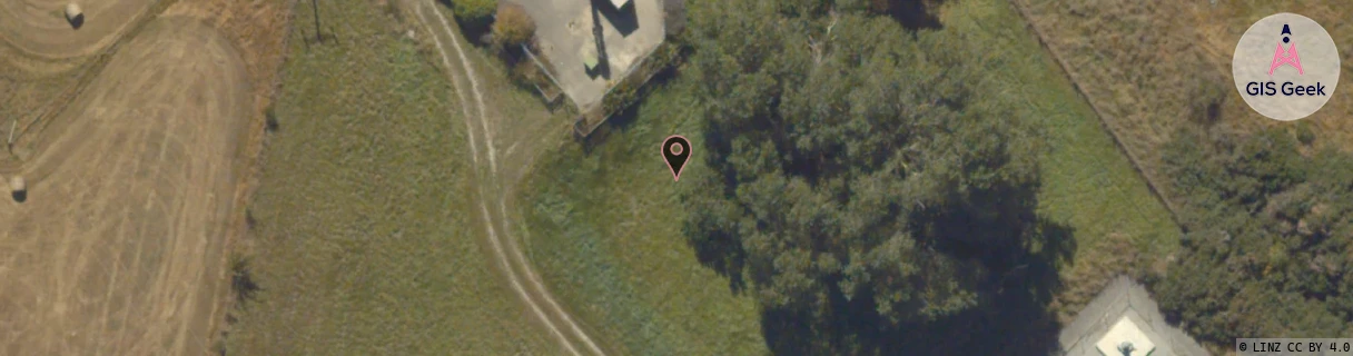
GIS Geek | LINZ | GMaps | Street View
Login required to upload photos or suggest corrections.
Closest Towers
| Provider | Location Name | Distance | Bearing |
|---|---|---|---|
| Spark | Queenstown Airport | 1.68km | 186.27 |
| OneNZ | Frankton Retail (VF S5VFR) | 428m | 136.92 |
| 2Degrees | Frankton | 17m | 282.98 |
| RCG | ROTWQT - West Queenstown | 22.42km | 236.61 |
Licence Details
Close Cell IDs OneNZ MMC: 530 MNC: 1
| Radio | Area | Cell | Distance from tower | Bearing from tower | Samples |
|---|---|---|---|---|---|
| UMTS | 1302 | 19758637 | 57m | 108.9 | 11 |
| UMTS | 1302 | 19785594 | 351m | 240.81 | 23 |
| UMTS | 1302 | 19785591 | 446m | 43.32 | 22 |
| UMTS | 1302 | 19758686 | 561m | 219.95 | 6 |
| LTE | 45088 | 1349635 | 655m | 216.83 | 35 |
| LTE | 45088 | 1349654 | 767m | 205.96 | 9 |
| UMTS | 1302 | 1349635 | 709m | 231 | 3 |
| UMTS | 1302 | 19758693 | 768m | 223.73 | 2 |
| LTE | 45088 | 1349674 | 915m | 201.84 | 5 |
| GSM | 29 | 23481 | 746m | 95.57 | 10 |
| LTE | 45088 | 1349675 | 971m | 219.84 | 13 |
| UMTS | 1302 | 19787903 | 955m | 223.98 | 4 |
| UMTS | 1302 | 19787896 | 967m | 225.11 | 5 |
| GSM | 29 | 23502 | 1.19km | 167.89 | 11 |
| LTE | 45088 | 1349655 | 1.08km | 218.07 | 20 |
| LTE | 45088 | 380929 | 1.03km | 240.91 | 2 |
| LTE | 45088 | 273173 | 1.23km | 212.87 | 14 |
| GSM | 29 | 23503 | 1.26km | 208.08 | 7 |