Location Overview
The 2Degrees Mt_Hutt location is 20m high, has 1 licence associated, and is capable* of 4G LTE.
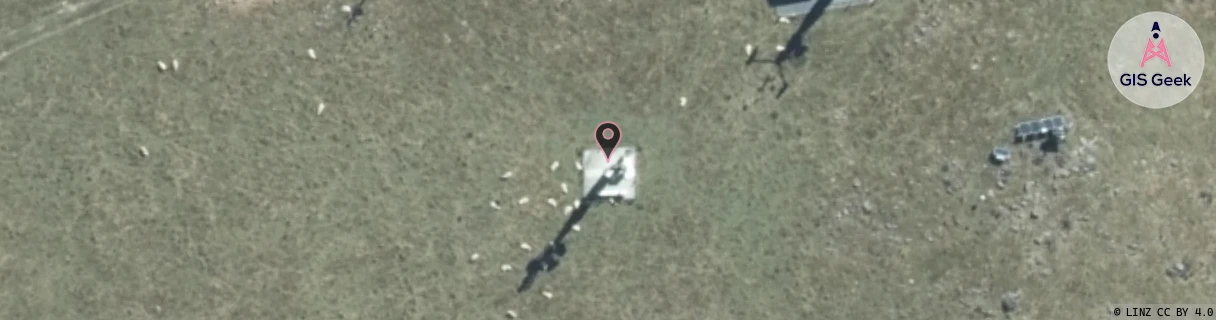
Location Raw Name: (CAN-063-001-A)[MTHT]_MT_HUTT
GIS Geek | LINZ | GMaps | Street View
Login required to upload photos or suggest corrections.
Closest Towers
| Provider | Location Name | Distance | Bearing |
|---|---|---|---|
| Spark | Mt Alford | 898m | 312.7 |
| OneNZ | Mt Hutt ONZ S4MHT | 31m | 51.52 |
| 2Degrees | Mt Hutt | 0m | 0 |
| RCG | RCTRAK - Rakaia Gorge | 16.34km | 59.17 |
Licence Details
Close Cell IDs 2Degrees MMC: 530 MNC: 24
| Radio | Area | Cell | Distance from tower | Bearing from tower | Samples |
|---|---|---|---|---|---|
| LTE | 62216 | 1768203 | 4.35km | 104.35 | 108 |
| UMTS | 22216 | 433204 | 4.4km | 92.71 | 2 |