Location Overview
The 2Degrees S_Palliser Bay location is 25m high, has 2 licences associated, and is capable* of 3G UMTS and 4G LTE.
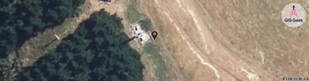
Location Raw Name: (WLG-050-005-A)[VPAB]_S_PALLISER BAY
GIS Geek | LINZ | GMaps | Street View
Login required to upload photos or suggest corrections.
Closest Towers
| Provider | Location Name | Distance | Bearing |
|---|---|---|---|
| Spark | Palliser Bay | 1m | 133.01 |
| OneNZ | Palliser Bay ONZ W3PAB | 5m | 313.68 |
| 2Degrees | Martinborough Central | 26.73km | 44.35 |
| RCG | RWLWME - Whangaimoana East | 3.85km | 195.63 |
Licence Details
Close Cell IDs 2Degrees MMC: 530 MNC: 24
| Radio | Area | Cell | Distance from tower | Bearing from tower | Samples |
|---|---|---|---|---|---|
| UMTS | 22213 | 26394157 | 7.01km | 341.81 | 1 |
| UMTS | 22213 | 26394160 | 13.88km | 17.14 | 1 |
| UMTS | 22213 | 375778 | 13.87km | 24.1 | 243 |
| UMTS | 213 | 375763 | 15.62km | 62.84 | 1 |