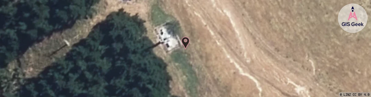
Location Overview
The Spark Palliser Bay location is 25m high, has 4 licences associated, and is capable* of 3G UMTS and 4G LTE.
GIS Geek | LINZ | GMaps | Street View
Login required to upload photos or suggest corrections.
Closest Towers
| Provider | Location Name | Distance | Bearing |
|---|---|---|---|
| Spark | South Wairarapa | 14.63km | 284.75 |
| OneNZ | Palliser Bay ONZ W3PAB | 6m | 313.57 |
| 2Degrees | S_Palliser Bay | 1m | 313.01 |
| RCG | RWLWME - Whangaimoana East | 3.85km | 195.64 |
Licence Details
Close Cell IDs Spark MMC: 530 MNC: 5
| Radio | Area | Cell | Distance from tower | Bearing from tower | Samples |
|---|---|---|---|---|---|
| UMTS | 38398 | 2536729 | 790m | 181.02 | 61 |
| UMTS | 38398 | 2350107 | 3.29km | 281.52 | 2 |
| UMTS | 34999 | 2536729 | 4.84km | 192.01 | 1 |
| UMTS | 38398 | 2350084 | 3.83km | 281.66 | 2 |
| UMTS | 34999 | 2536731 | 5km | 191.64 | 1 |
| LTE | 38141 | 392815 | 4.83km | 319.6 | 5 |
| UMTS | 34999 | 2280098 | 5.46km | 192.24 | 1 |
| UMTS | 38398 | 2536731 | 6.13km | 17.96 | 7 |