Location Overview
The 2Degrees Mt Maunganui Nth location is 33m high, has 3 licences associated, and is capable* of 3G UMTS and 4G LTE.
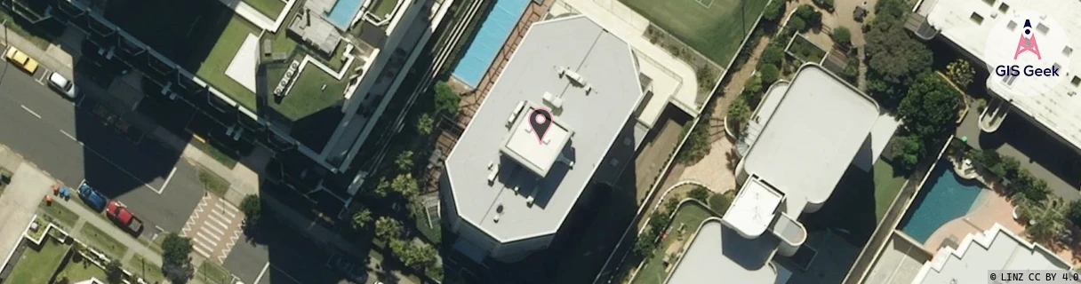
Location Raw Name: (BOP-023-001-D)[MTMN]_MT MAUNGANUI NTH
GIS Geek | LINZ | GMaps | Street View
Login required to upload photos or suggest corrections.
Closest Towers
| Provider | Location Name | Distance | Bearing |
|---|---|---|---|
| Spark | Mt Maunganui Apartments | 101m | 328.85 |
| OneNZ | Mt Maunganui Central | 218m | 326.9 |
| 2Degrees | Mt Maunganui | 1.26km | 154.4 |
| RCG | RBPOHT - Ohauiti | 16.36km | 172.46 |
Licence Details
Close Cell IDs 2Degrees MMC: 530 MNC: 24
| Radio | Area | Cell | Distance from tower | Bearing from tower | Samples |
|---|---|---|---|---|---|
| GSM | 205 | 19595 | 94m | 205.93 | 7 |
| GSM | 205 | 19551 | 112m | 251.15 | 7 |
| LTE | 62205 | 1619462 | 113m | 279.47 | 20 |
| GSM | 205 | 19593 | 194m | 190.48 | 9 |
| LTE | 62205 | 1619460 | 161m | 250.27 | 14 |
| UMTS | 22205 | 269182 | 175m | 95.88 | 1 |