Location Overview
The 2Degrees Mt Maunganui location is 20m high, has 3 licences associated, and is capable* of 3G UMTS and 4G LTE.
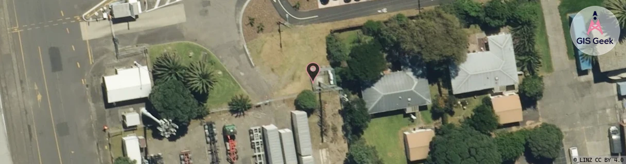
Location Raw Name: (BOP-023-005-A)[MTMU]_MT MAUNGANUI
GIS Geek | LINZ | GMaps | Street View
Login required to upload photos or suggest corrections.
Closest Towers
| Provider | Location Name | Distance | Bearing |
|---|---|---|---|
| Spark | Central Mt Maunganui | 47m | 256.89 |
| OneNZ | Mt Maunganui | 249m | 181.88 |
| 2Degrees | Mt Maunganui Nth | 1.26km | 334.4 |
| RCG | RBPOHT - Ohauiti | 15.17km | 173.93 |
Licence Details
Close Cell IDs 2Degrees MMC: 530 MNC: 24
| Radio | Area | Cell | Distance from tower | Bearing from tower | Samples |
|---|---|---|---|---|---|
| UMTS | 22205 | 279032 | 232m | 344.52 | 7 |
| UMTS | 22205 | 281701 | 251m | 315.41 | 27 |
| UMTS | 22205 | 271702 | 257m | 109.46 | 3 |
| LTE | 62205 | 1619716 | 273m | 98.73 | 29 |
| UMTS | 22205 | 271701 | 505m | 358.94 | 3 |
| LTE | 62205 | 1619458 | 499m | 59.65 | 16 |